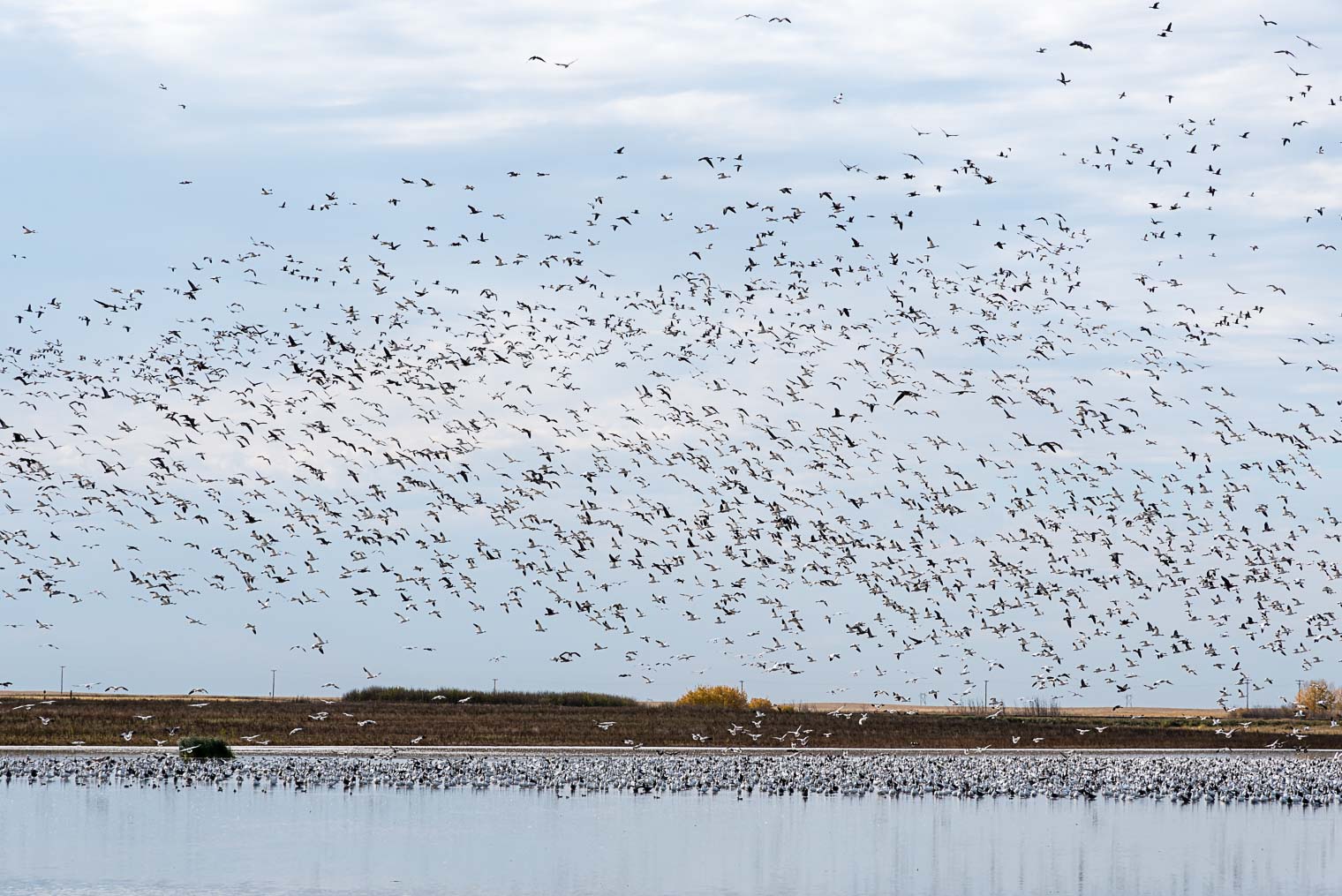
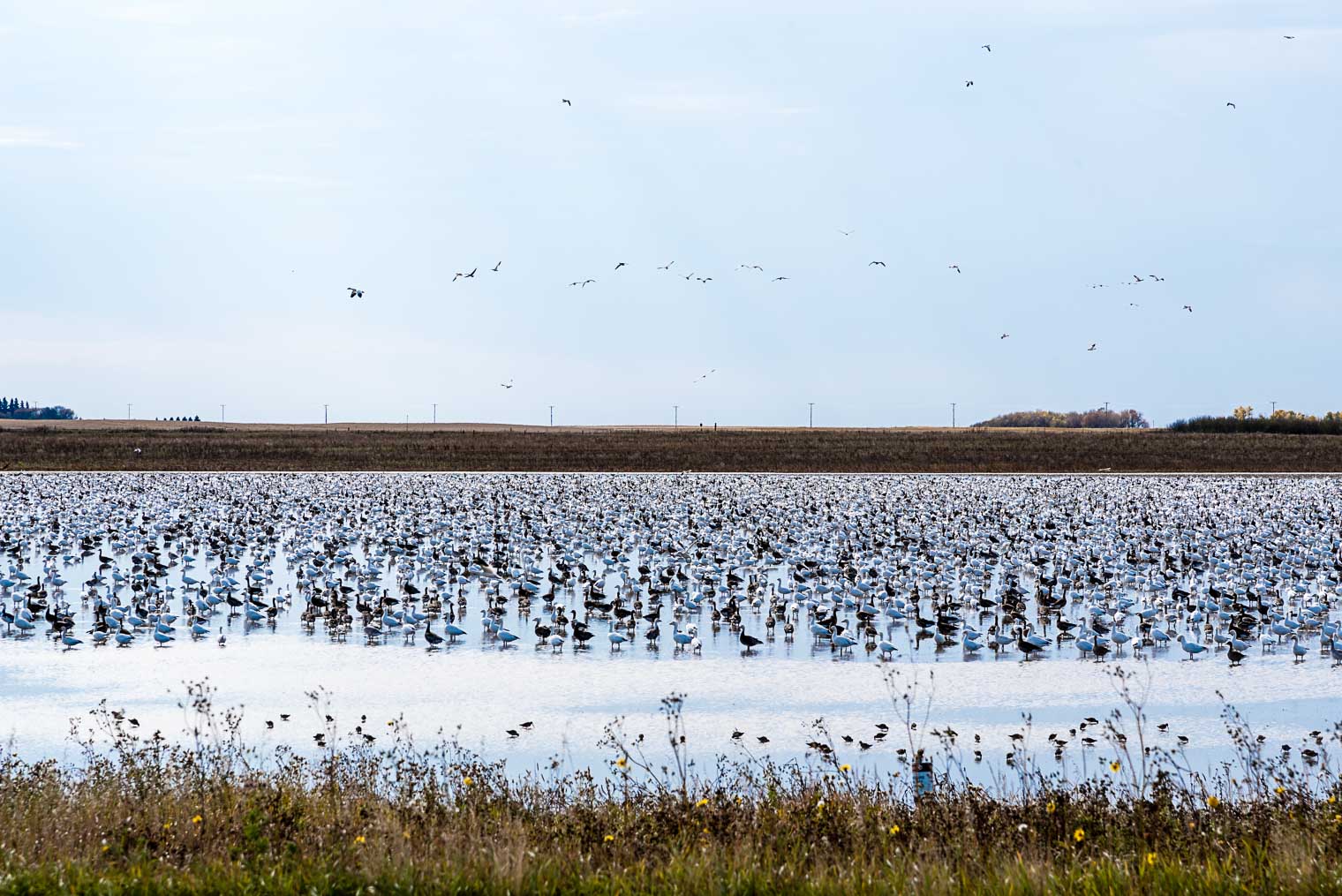
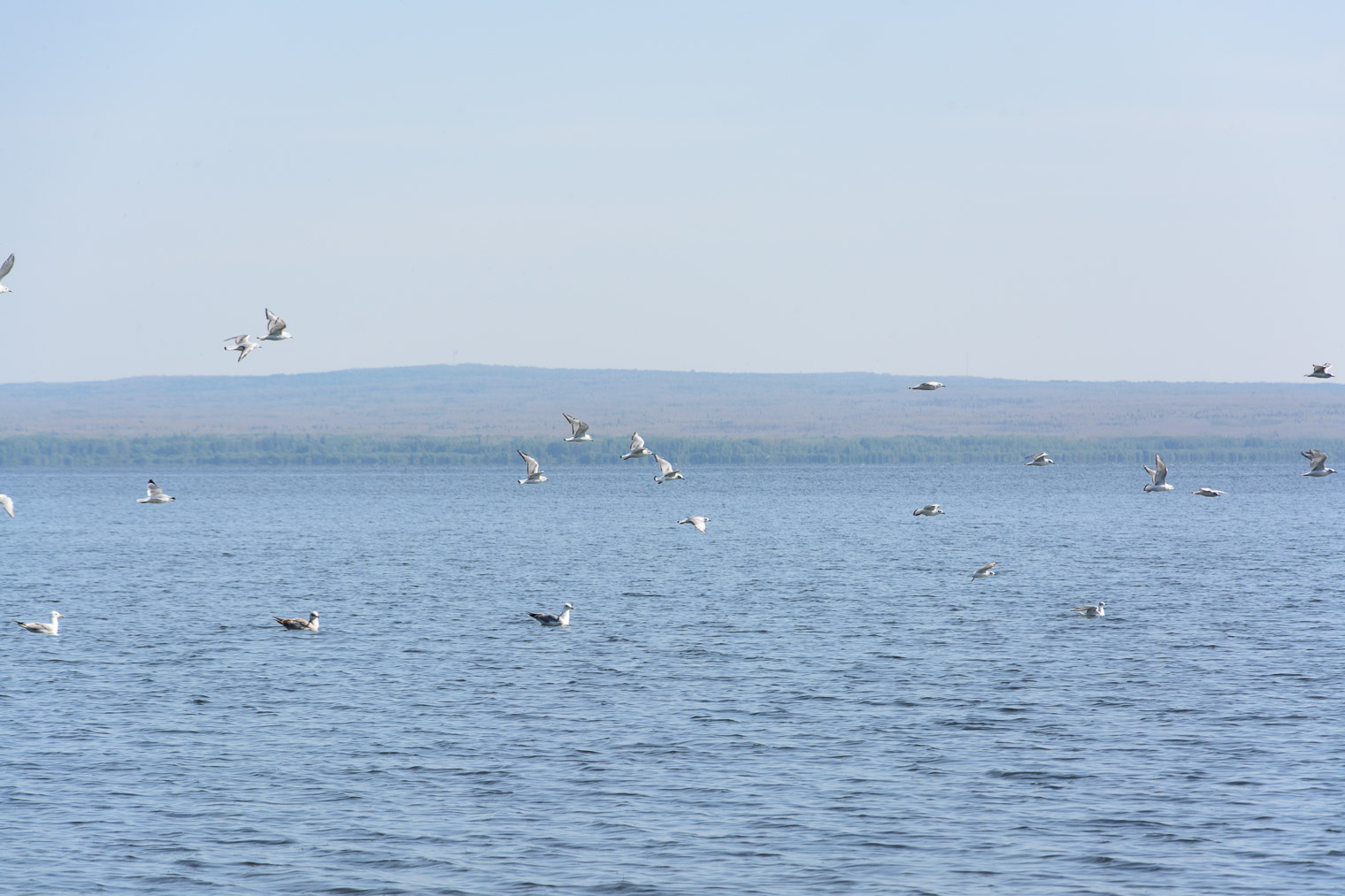
I’d never witnessed the Snow Geese migration until earlier this autumn when we were driving through Saskatchewan. I’d heard about it from a friend but there’s no way a person can truly appreciate it unless they’ve seen it for themselves.
To say it was spectacular is an understatement, and these photos don’t do it justice. There were thousands of these birds flying in what appeared to be all directions, yet choreographed at the same time.


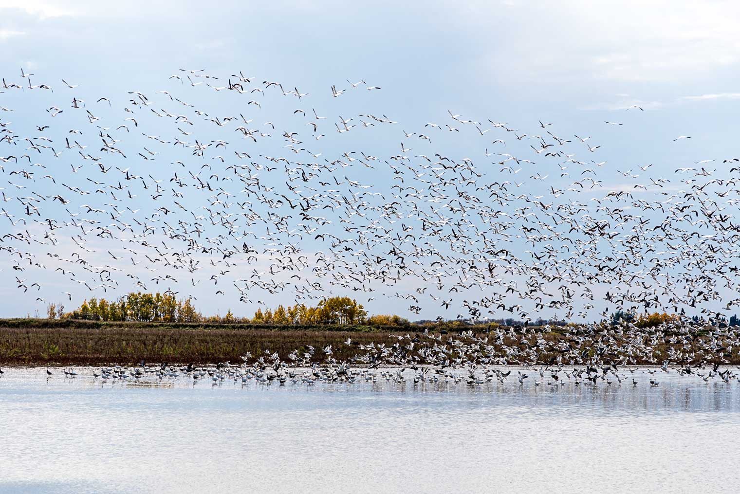


Here’s a little 10 second video I captured. It’s mostly about the cacophony :)
To learn more about these fascinating birds go to All About Birds – Cornell Lab of Ornithology
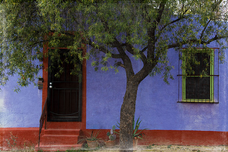
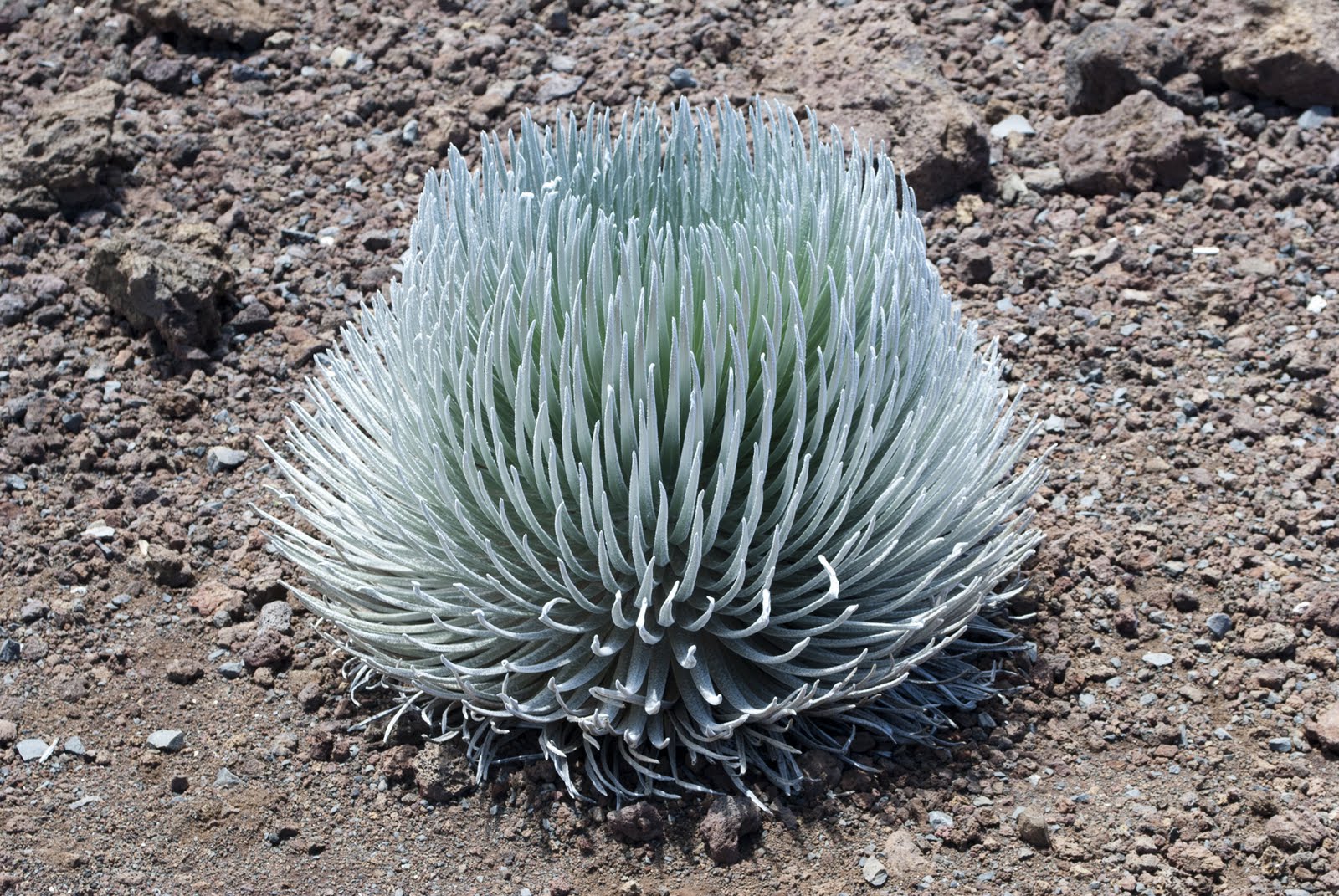
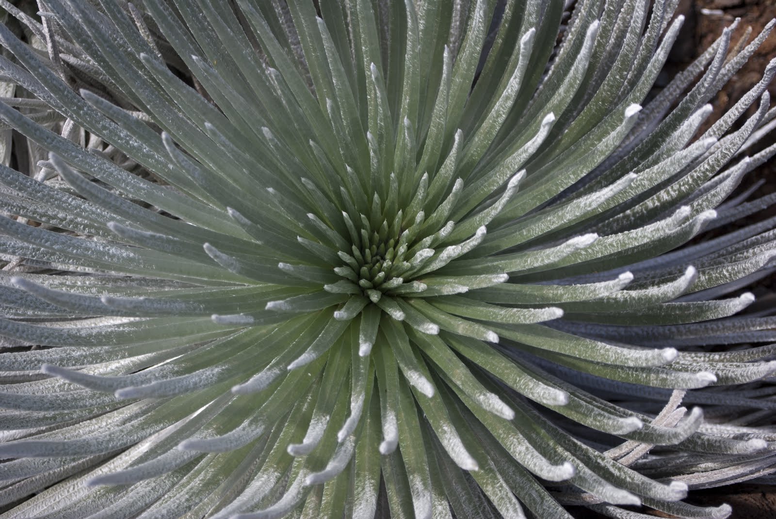
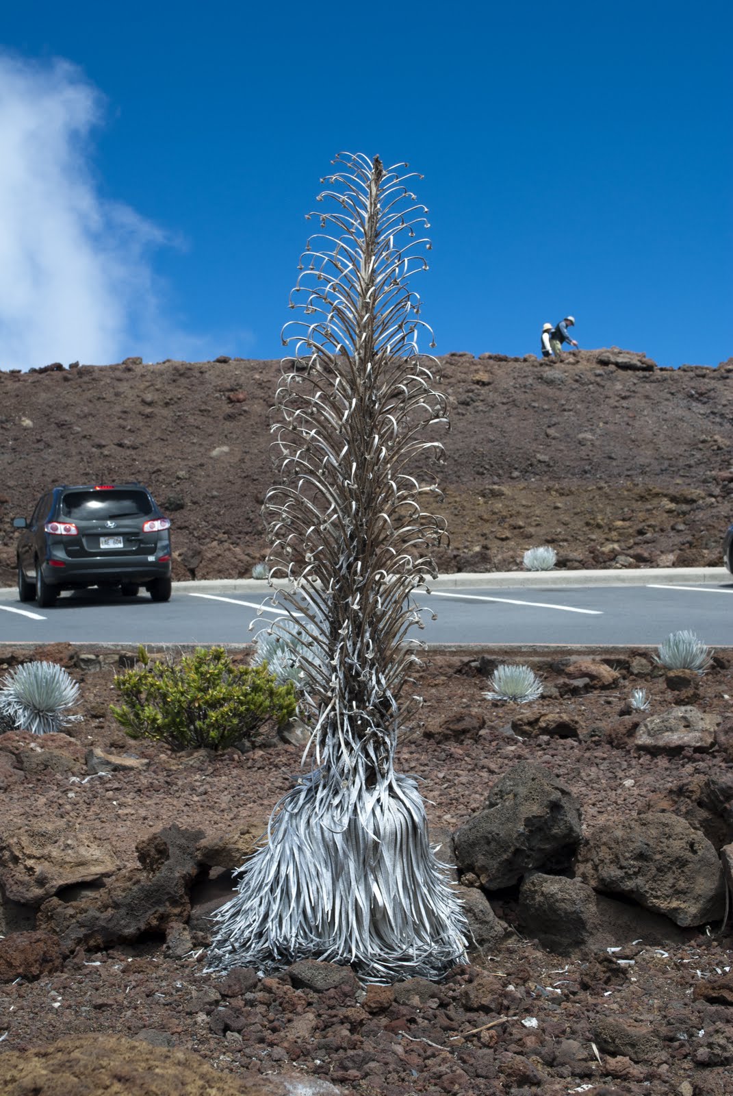
So this is day 4 of #NaBloPoMo … and while some of my posts are not going to be spectacular I have to tell you I learned something this morning … big time. So I’ve decided to create a list of 30 Things I Learned From Blogging Every Day in November, which I’ll share when it’s all over and done!


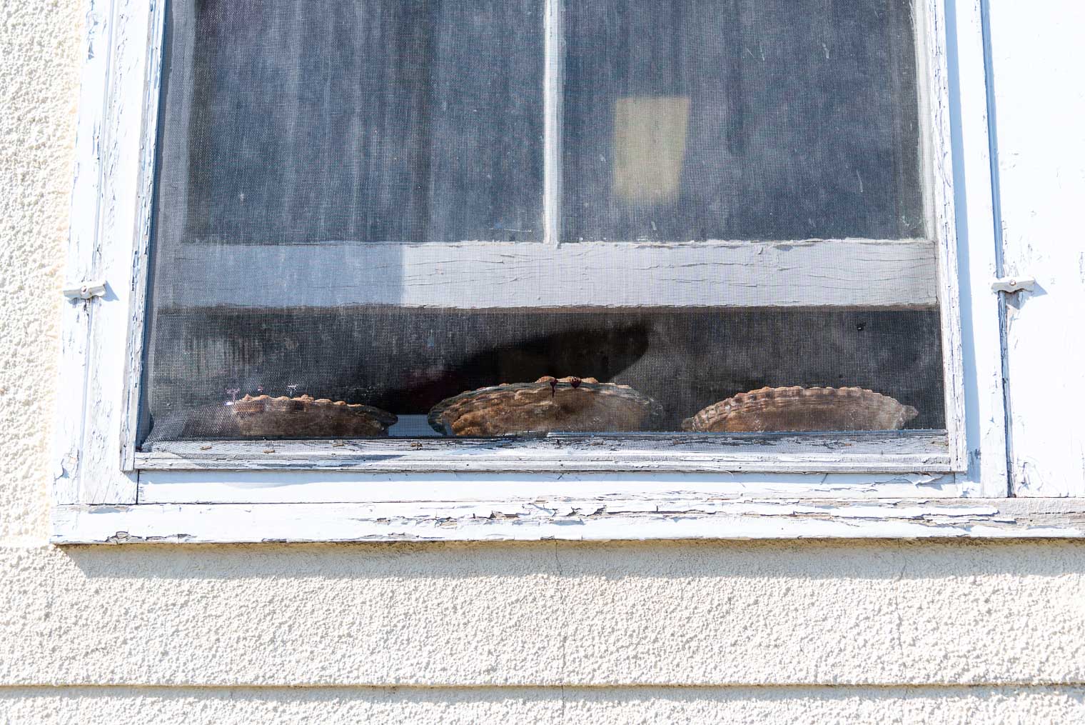


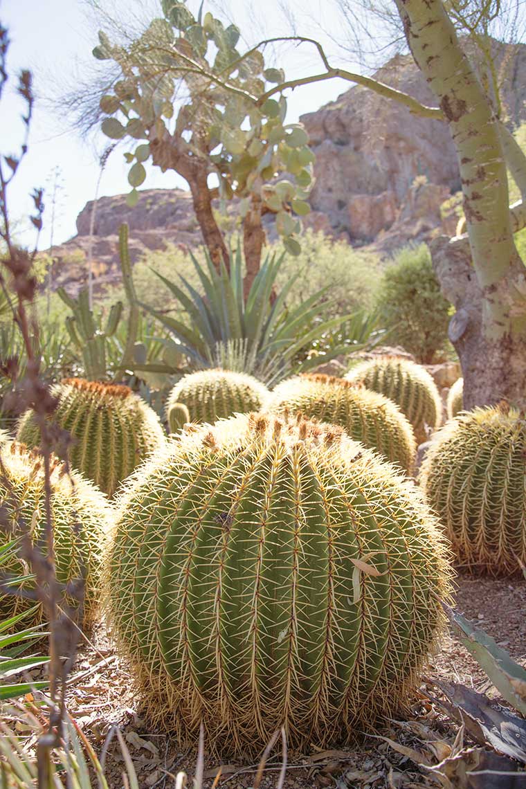
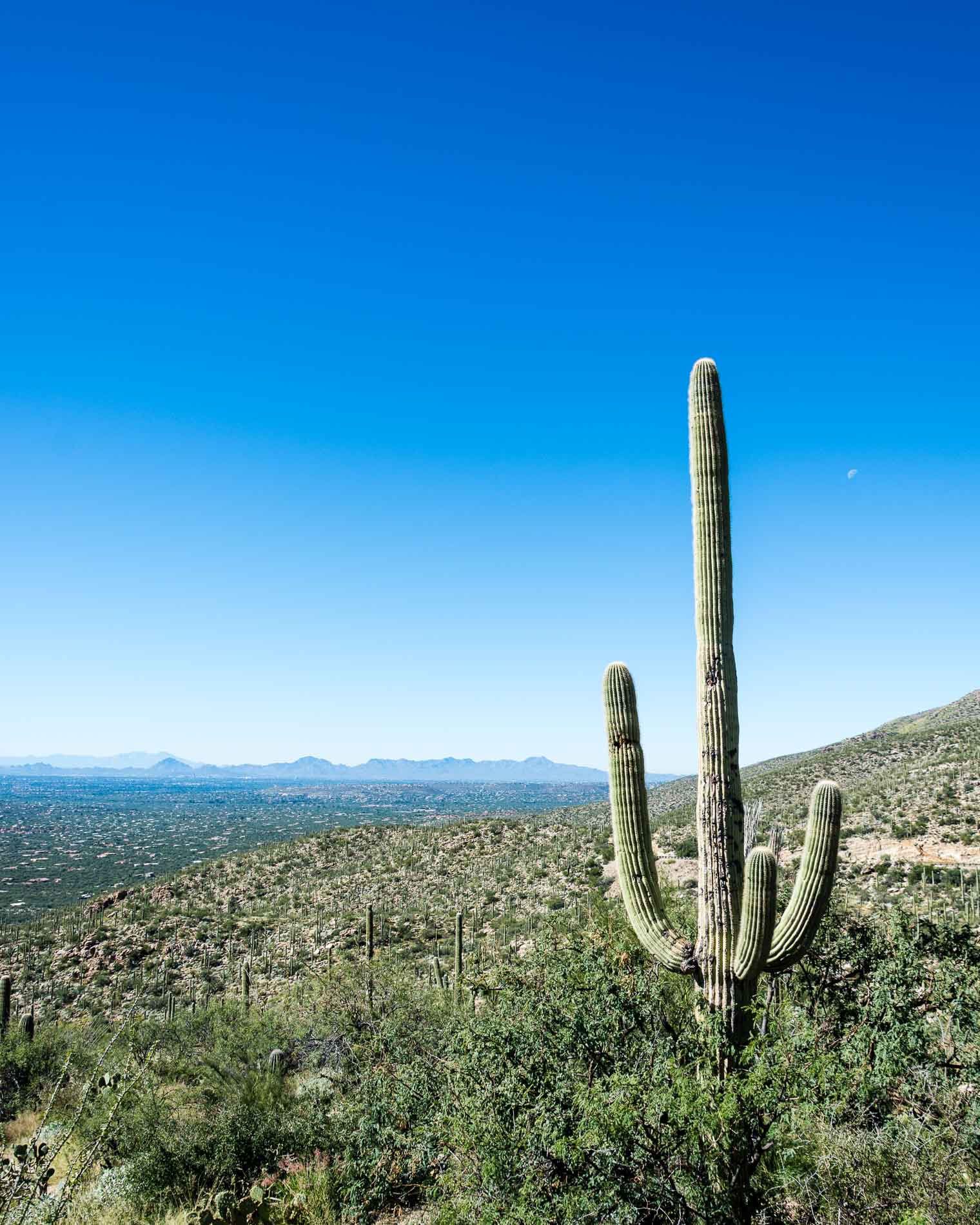
 … and yes the photos are a bit cra**y since I only had my phone and I wasn’t taking a lot of care, but lately I’ve decided that just capturing the moment is enough. And talk about moments! we ran across this Argentine Giant in full bloom (down at the Fountain). It was positively stunning, and they only bloom for a few hours! What luck for us that we ran across it.
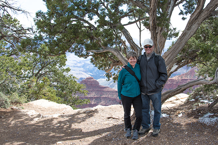
 So what started out as a not-so-great day turned out to be pretty awesome. We just had to make it happen.
 I didn’t want to bother the waiter so I took these photos myself … balancing my camera against my chin as I poured tea (hoping it would hit the strainer … and for the most part, it did!)

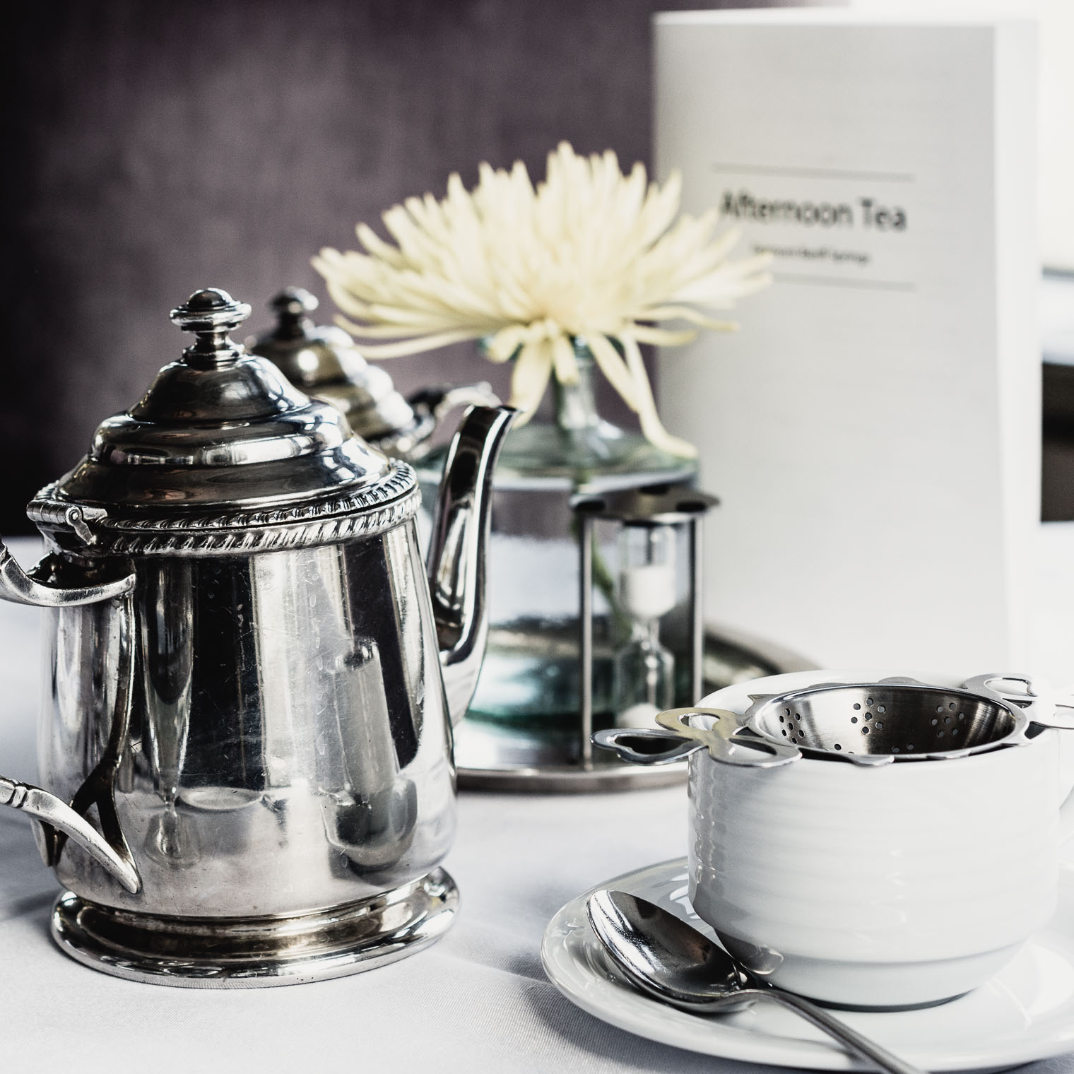

 I really wanted to spread all the delicacies across the table amongst the teacups, linens, and silverware.
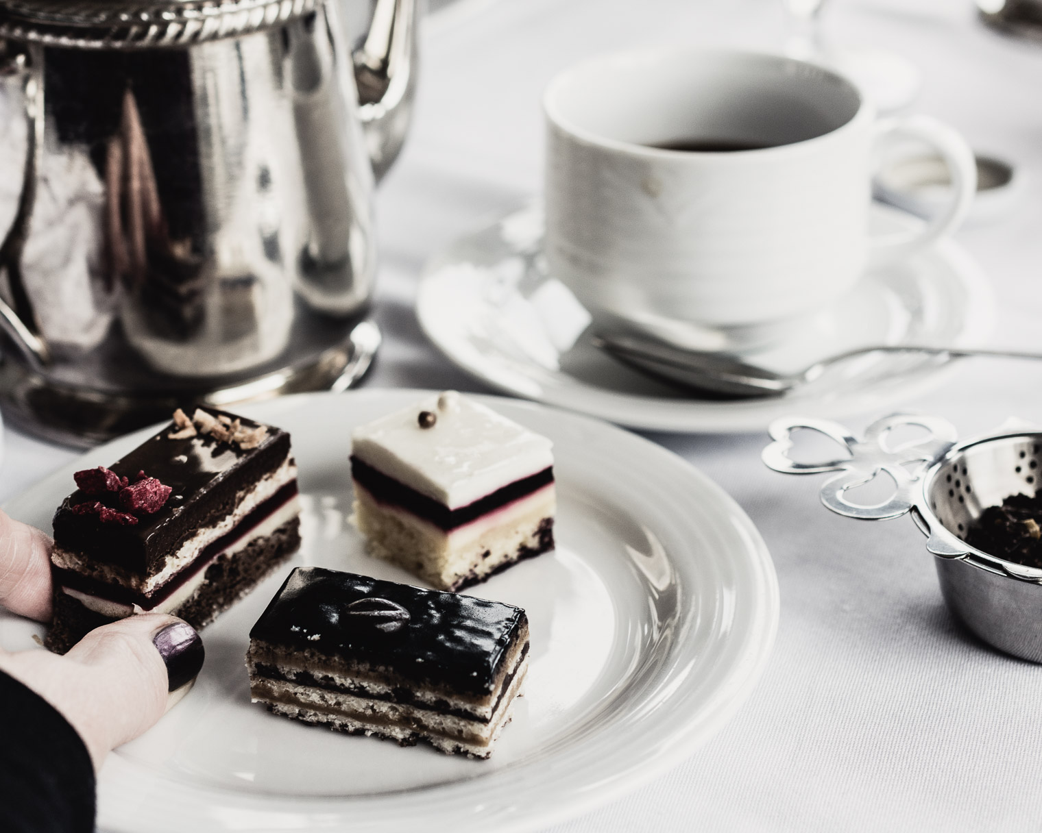
 These are just teasers!
 And then, goodness me … yes! How amazing are these carved tree trunks! At first I was dismayed at the damage, but then I began to think otherwise, what do you think?
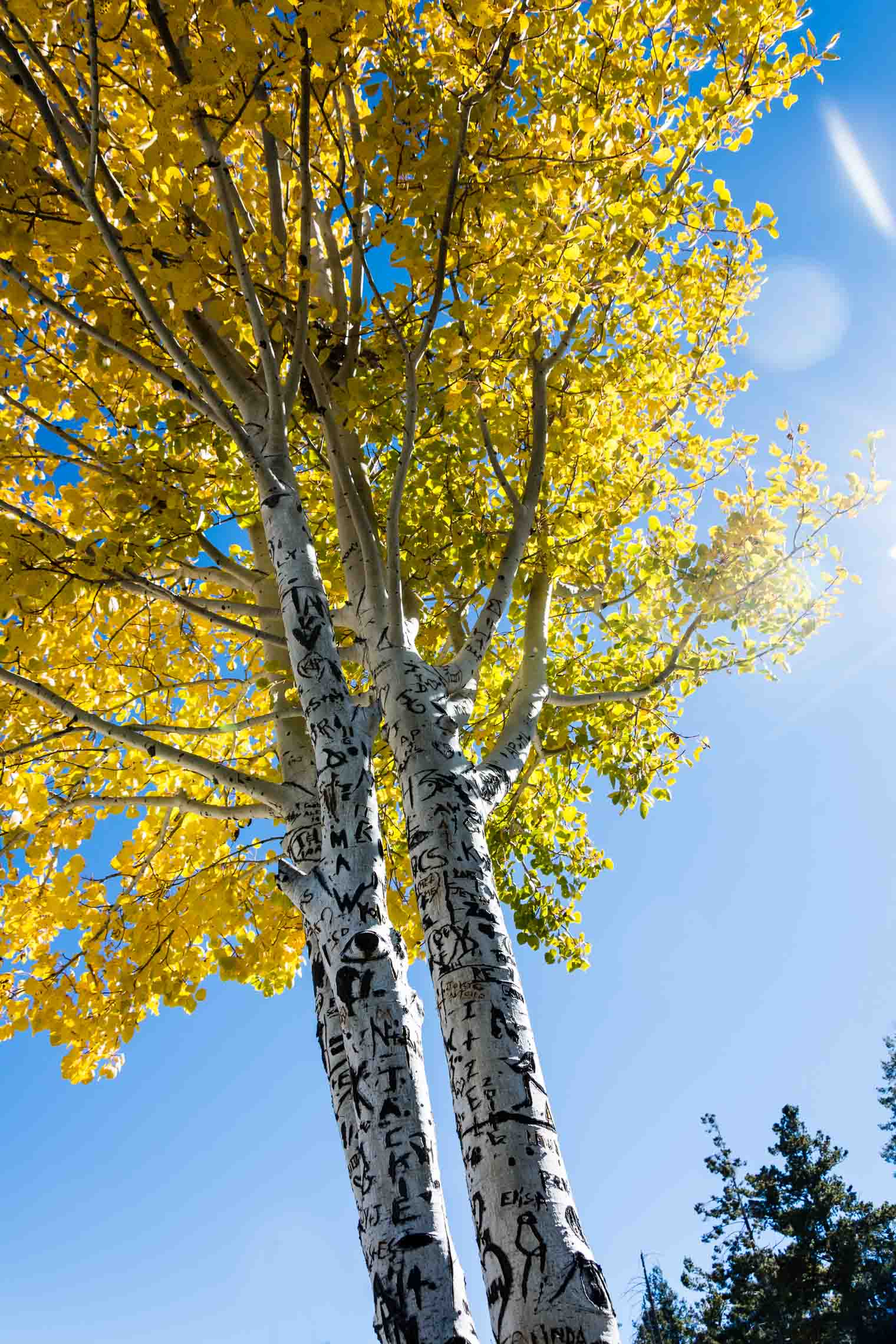
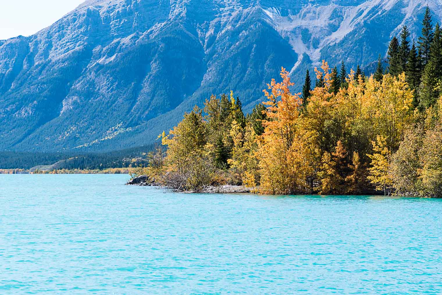
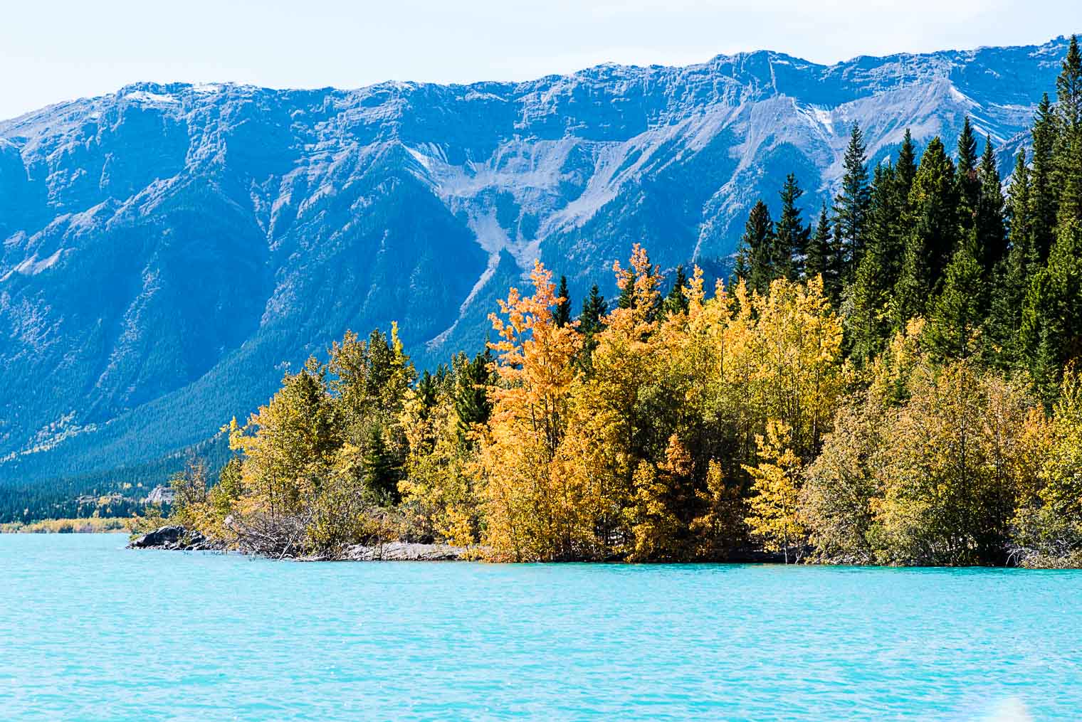
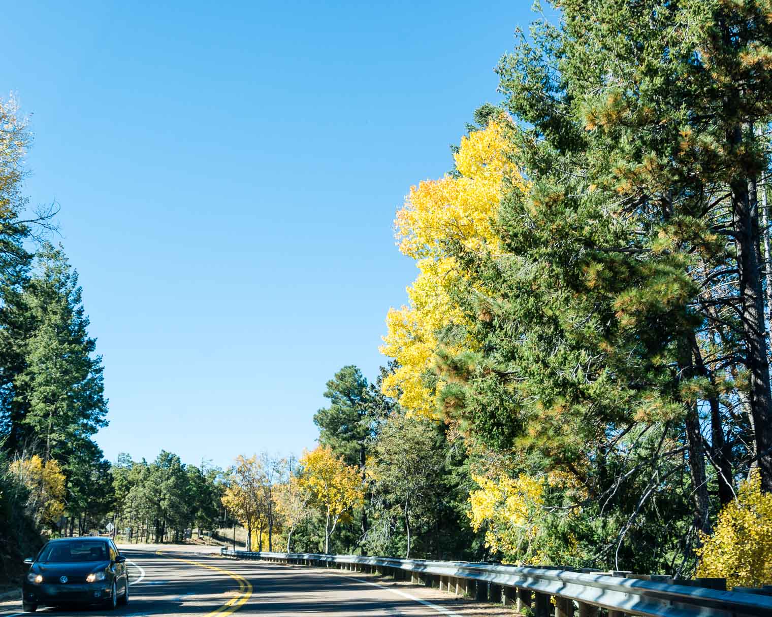
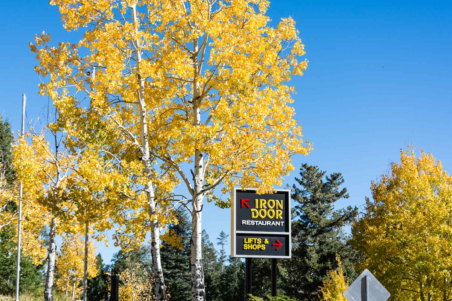
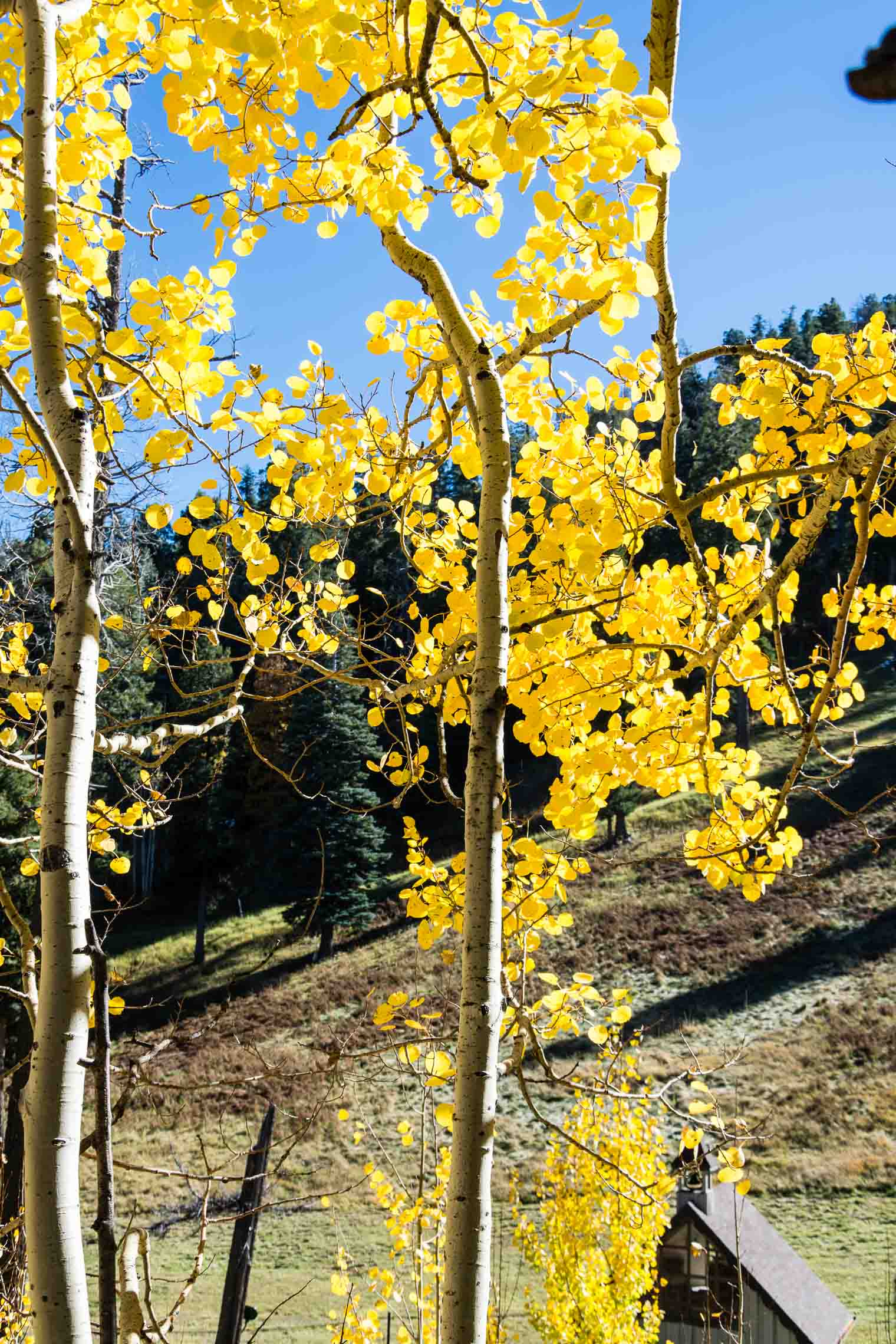
 Check out the beautiful sunlight, peeking through brilliant yellows leaves against an impossibly blue sky. Sigh.
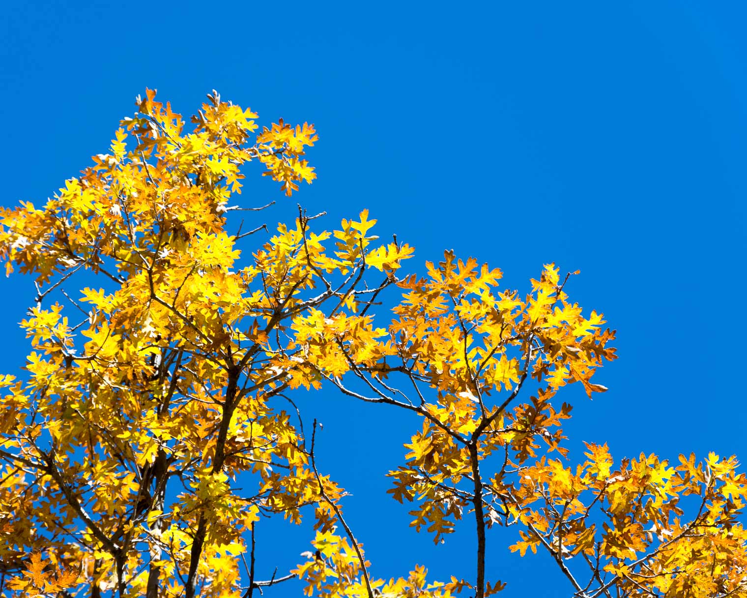
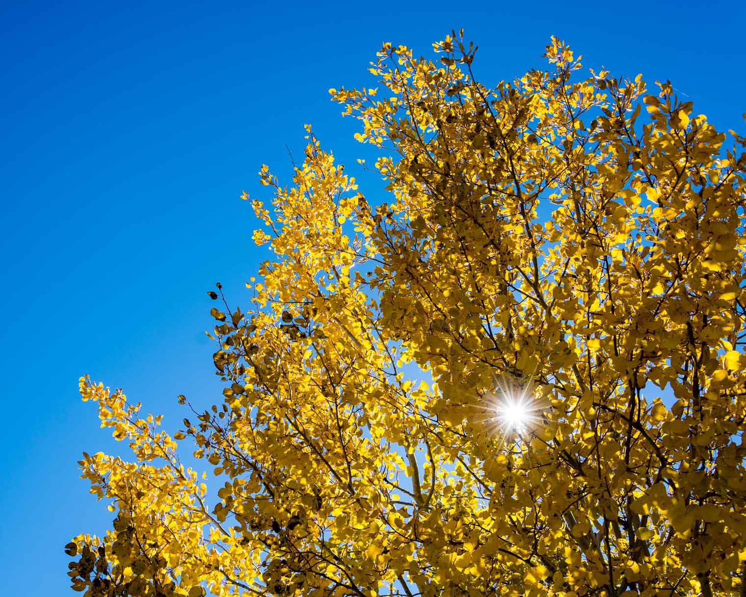 I was thrilled to see oak … I don’t have access to many of these beauties.

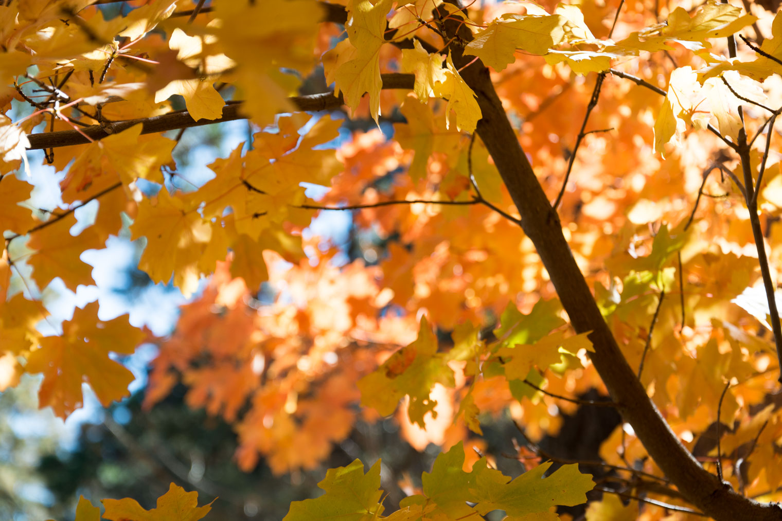
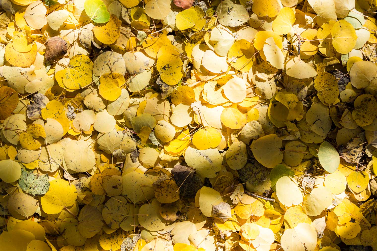
 stunning maples … . I may have gasped.


 At the top …
 It’s so beautiful!
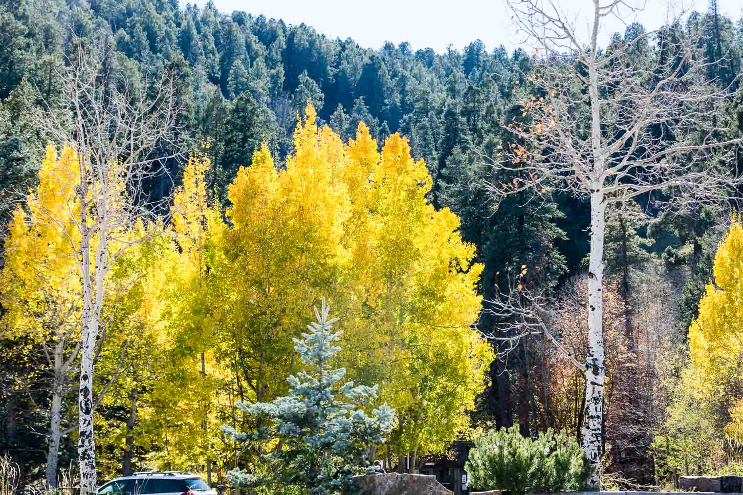


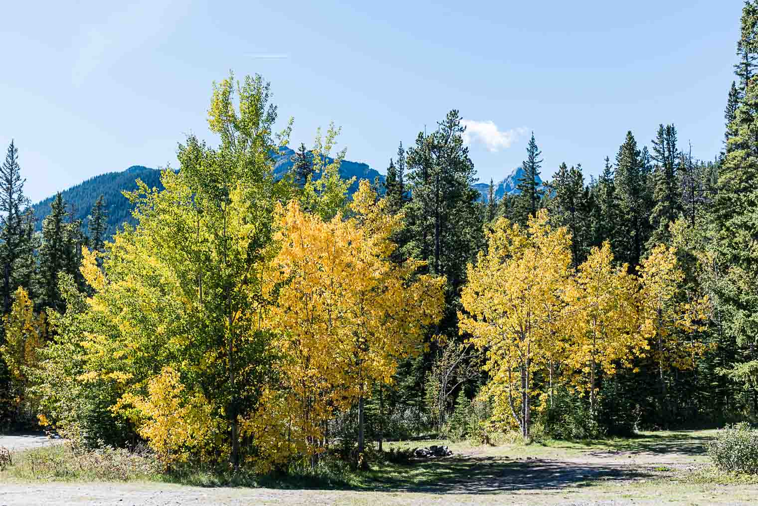
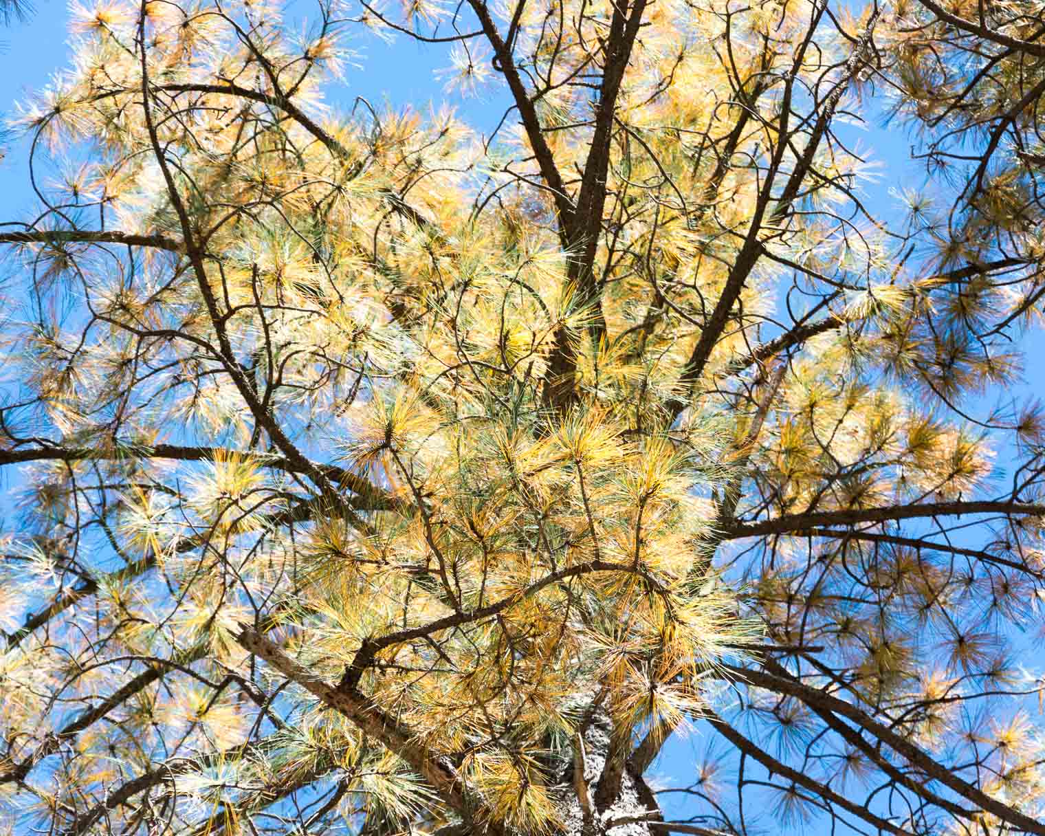
 When we stopped for lunch at wonderful picnic area, I was already seeing colour … not really, but … maybe? The air was fresh, scented lightly by pines, and if you weren’t in the sun, it did get quite cool. I love that …
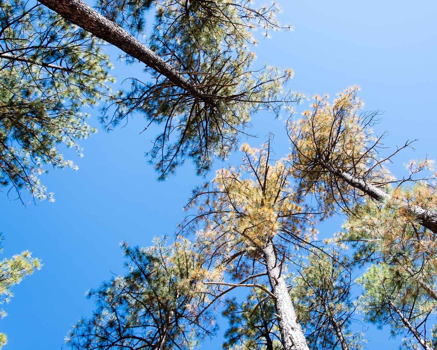

 and then this … I think we’re on the right track …
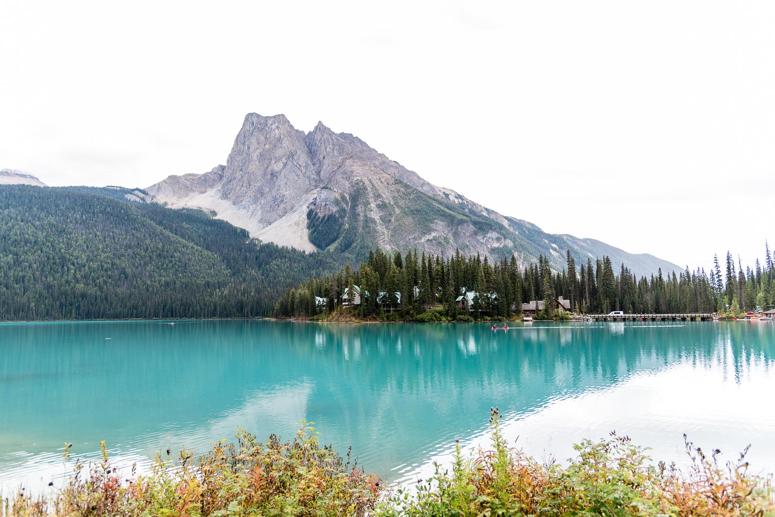
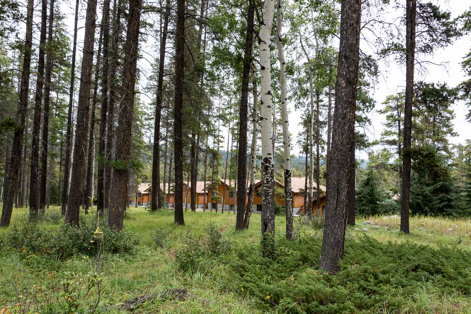
 View of the cabins …

 The following photo shows where an avalanche occurs almost every year …

 There is the main lodge
 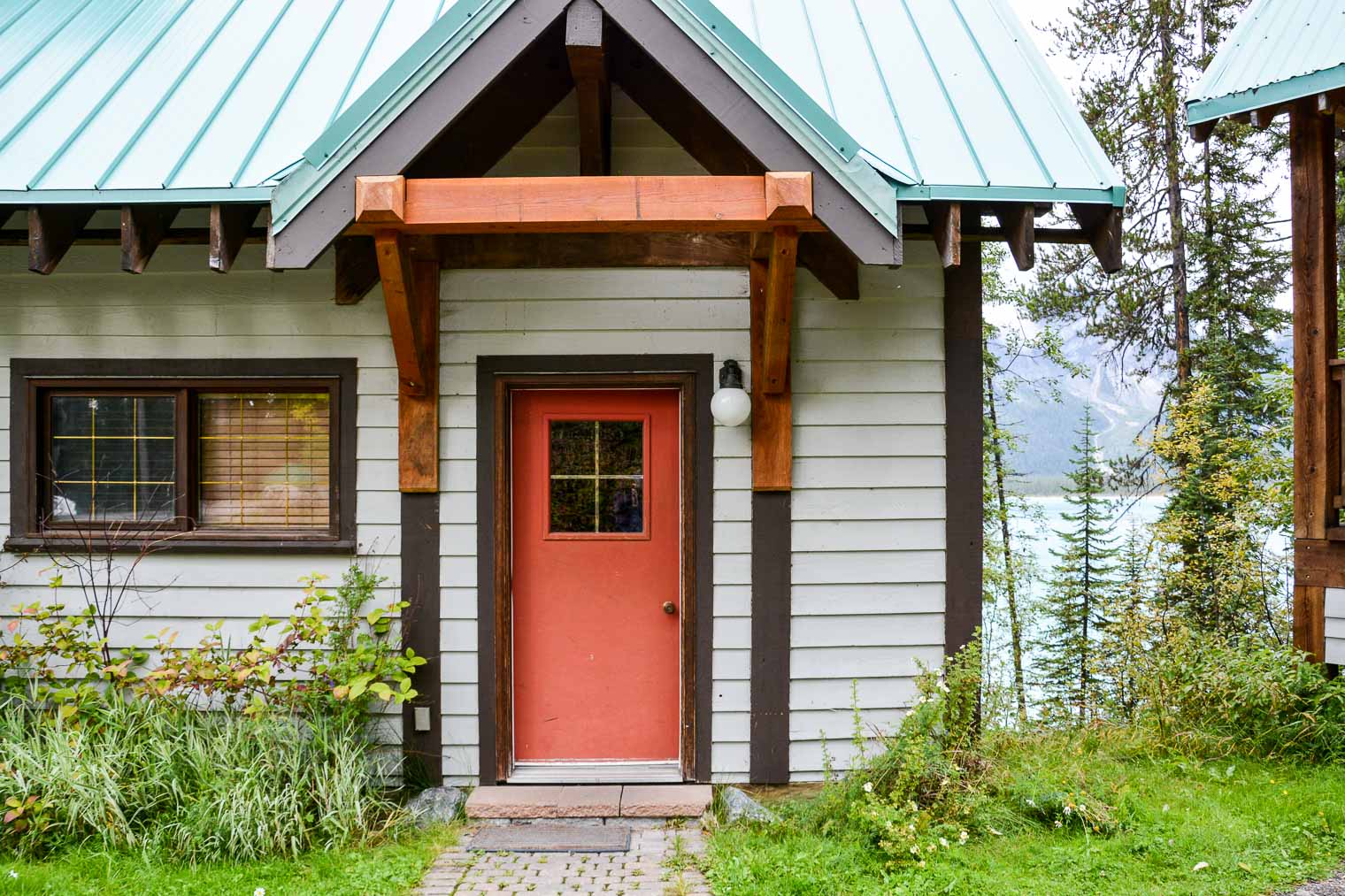 Looking through a window from the main lodge … goodness, I love B.C.
 These pots reminded me of some kind of hanging bamboo …
 … our room!
 breakfast is served …

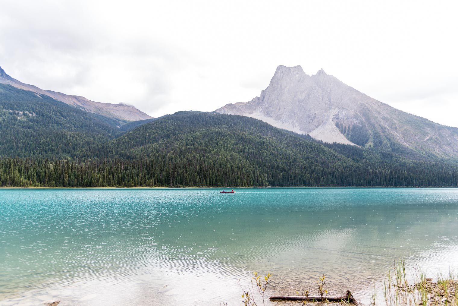
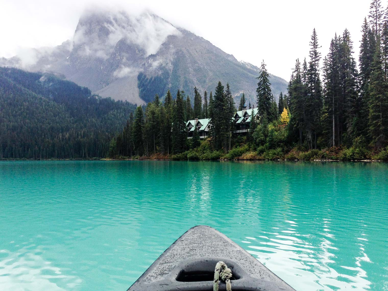
 From the canoe …


 Now I’m just throwing in Old Man Mountain, Roche Bonhomme, or Nanabusho which is visible from the Jasper townsite as well as various places along the highway.
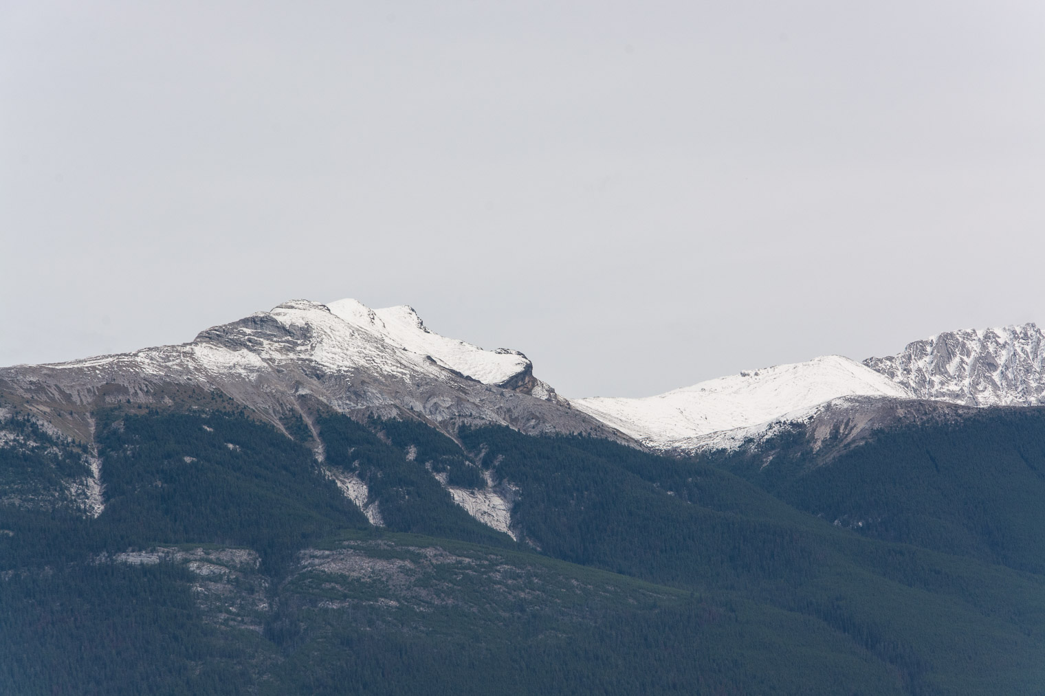
 Some aboriginals refer to it as Nanabusho: a teacher, a brother of humans, and a reminder of spiritual connection to the land.
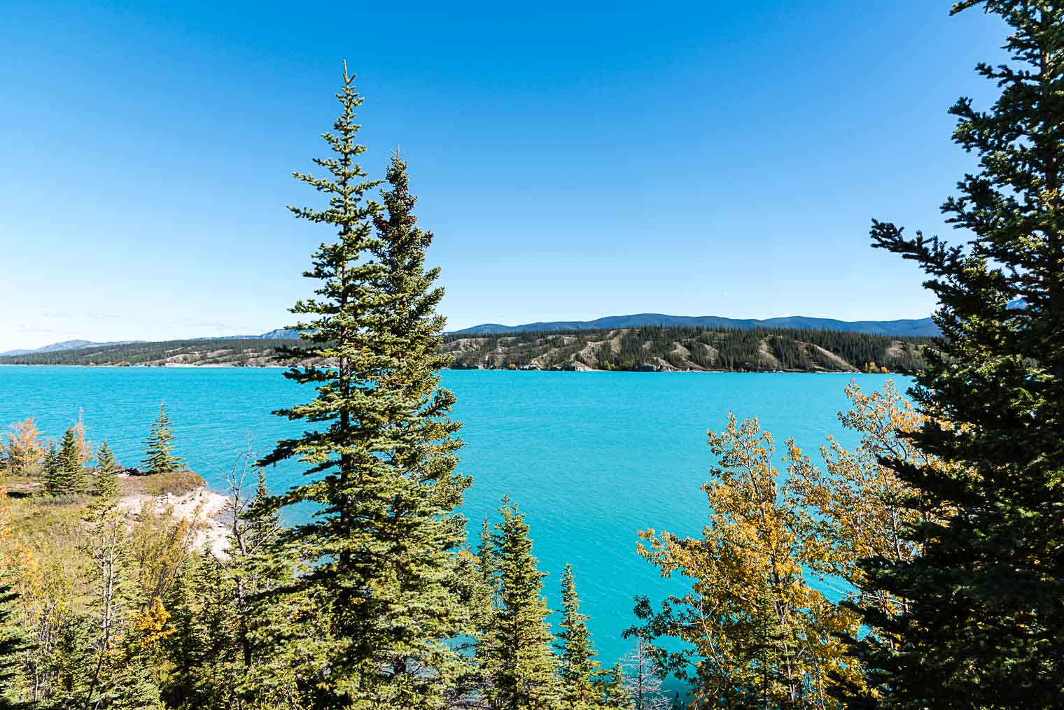
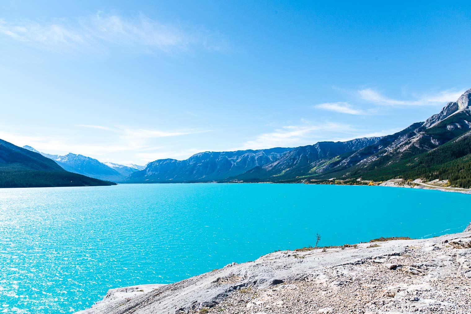
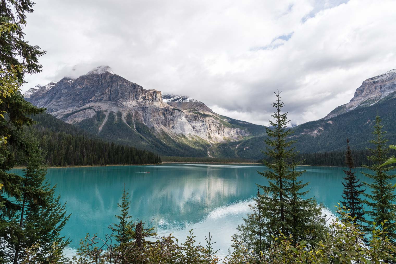
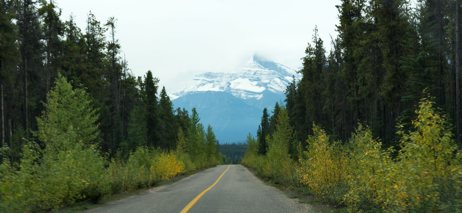 When we stopped to take a closer look at a lake peeking through the trees, this is what we were presented with …
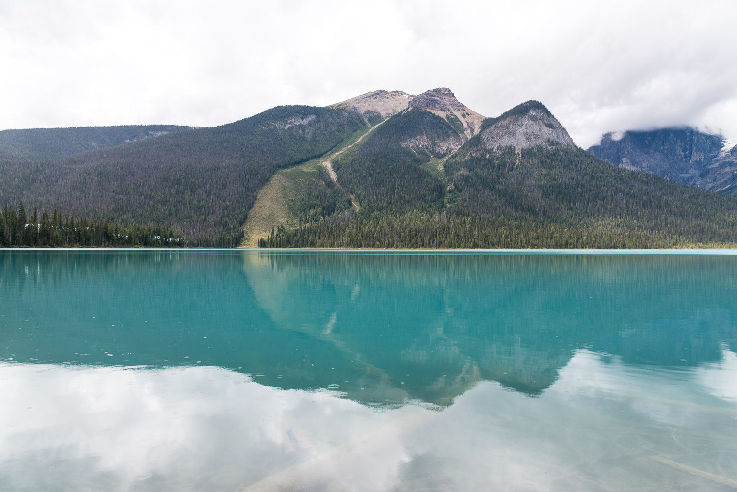
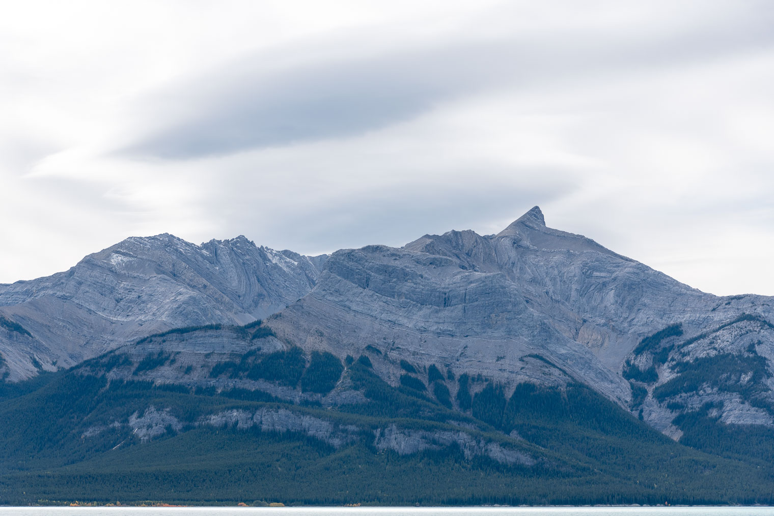
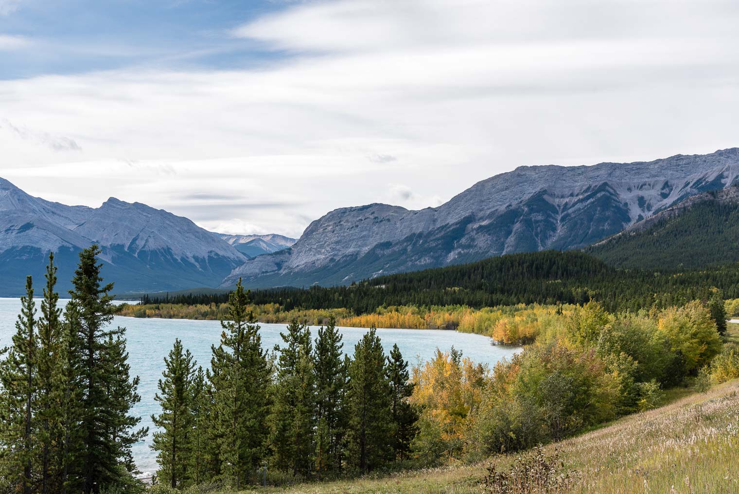
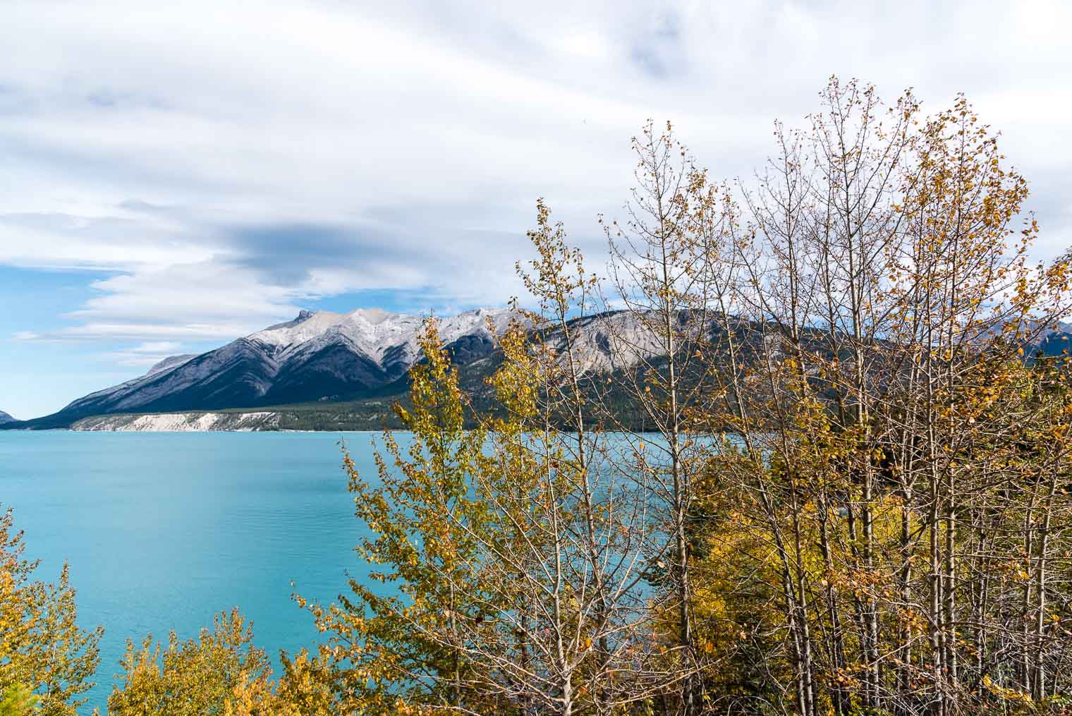
 I haven’t been able to identify the mountains …


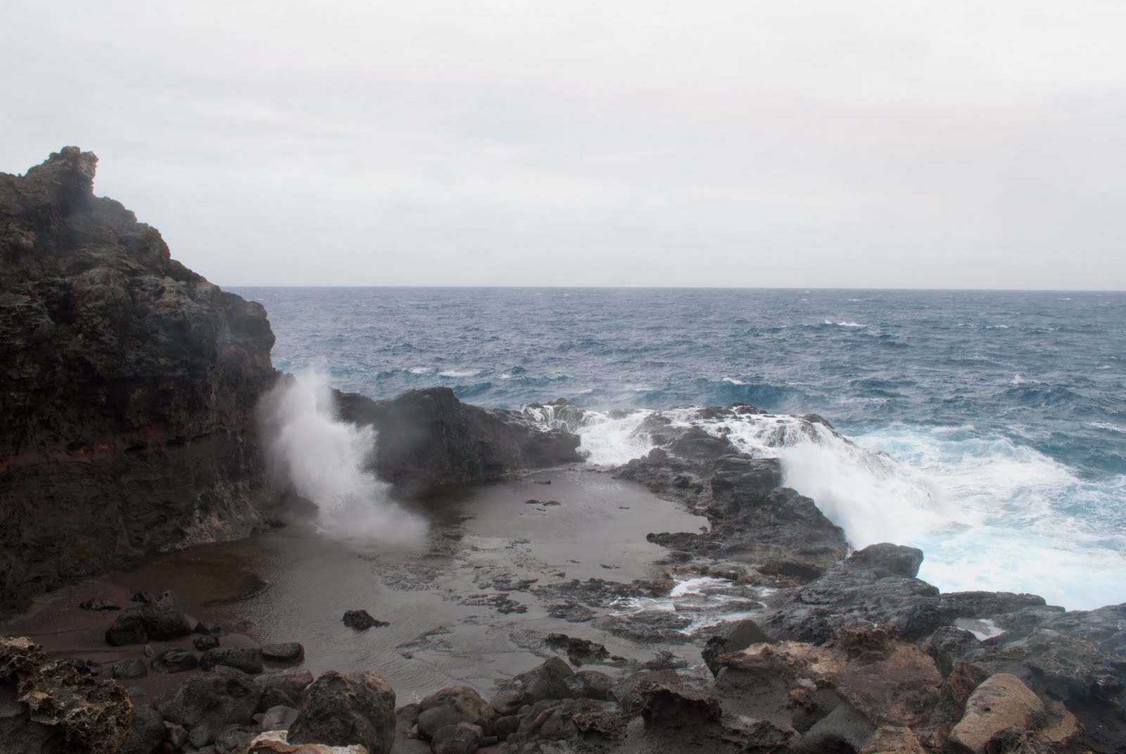
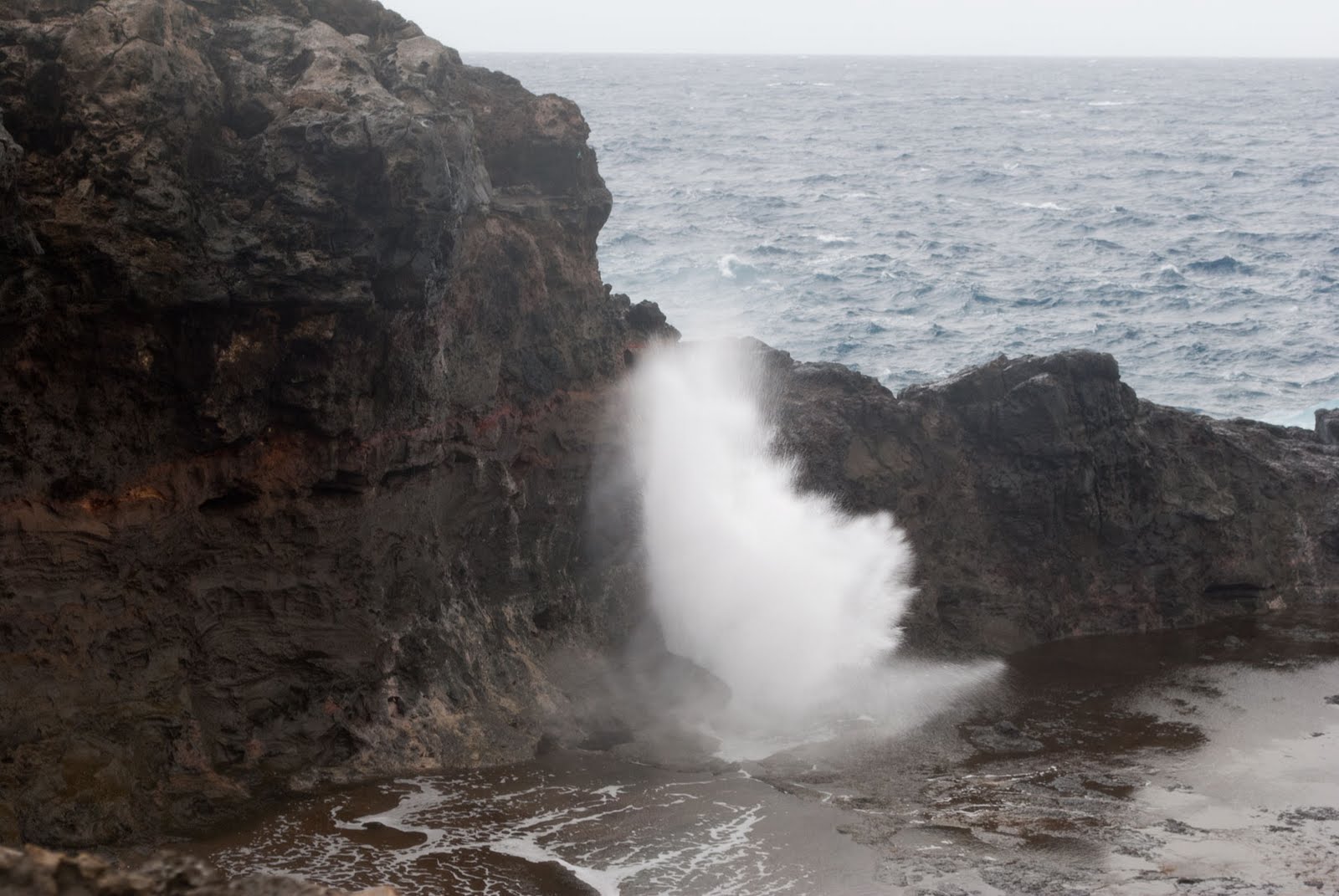
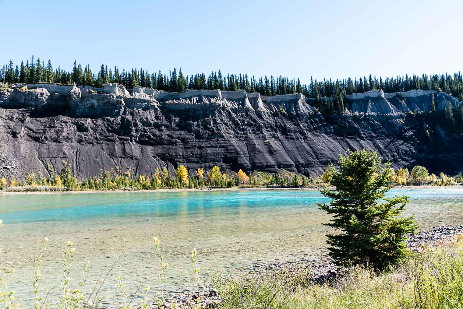
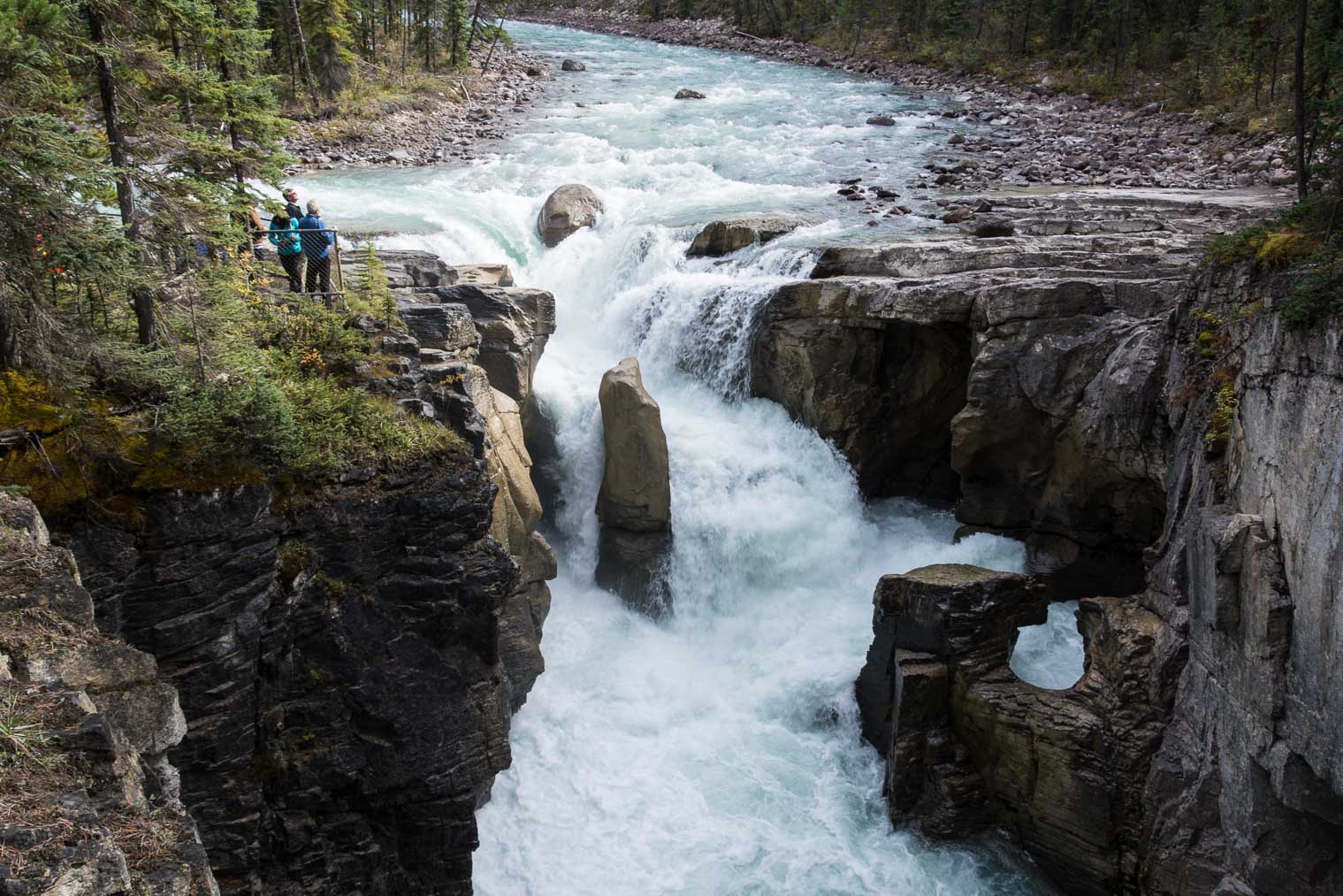
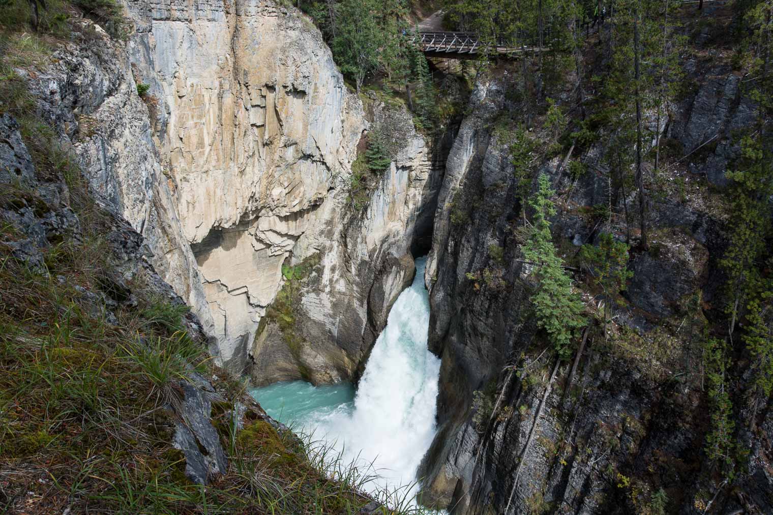
 It’s deceptively quiet at the beginning … and the whole area is misty with spray …
 … then eerie, because … people have slipped in and died here …

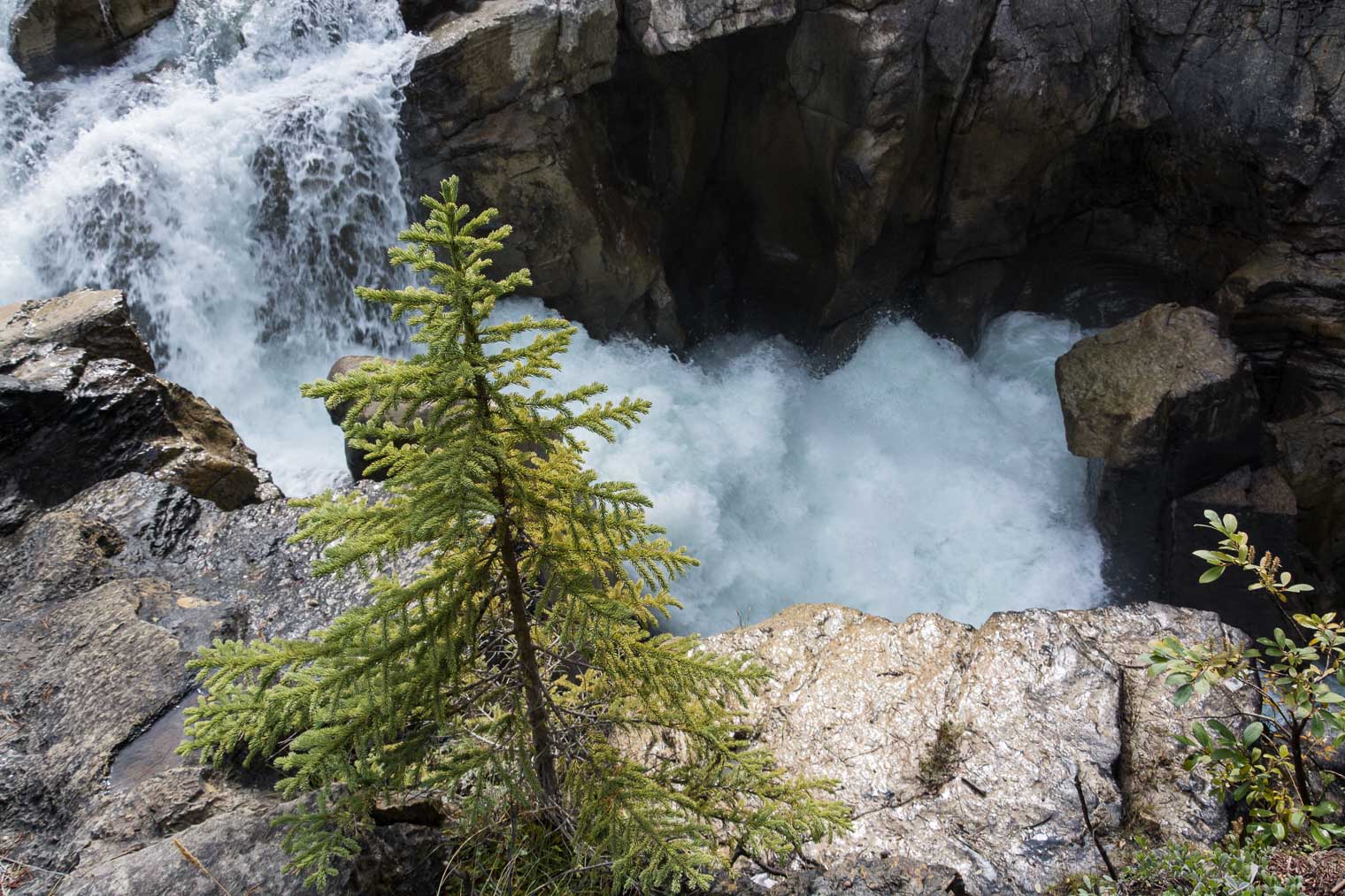
 It’s positively thunderous …


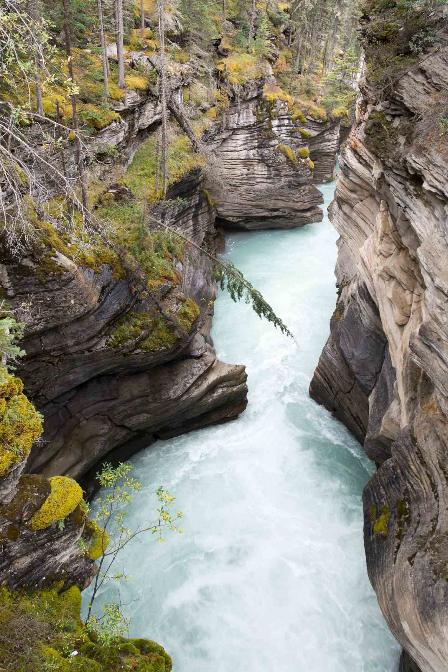


 … and magnificent.
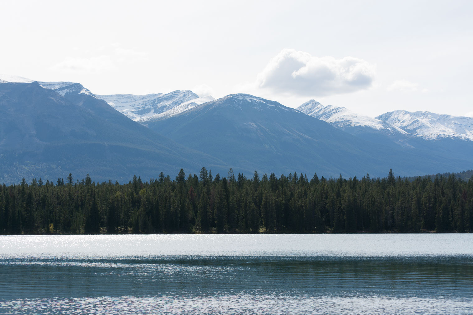


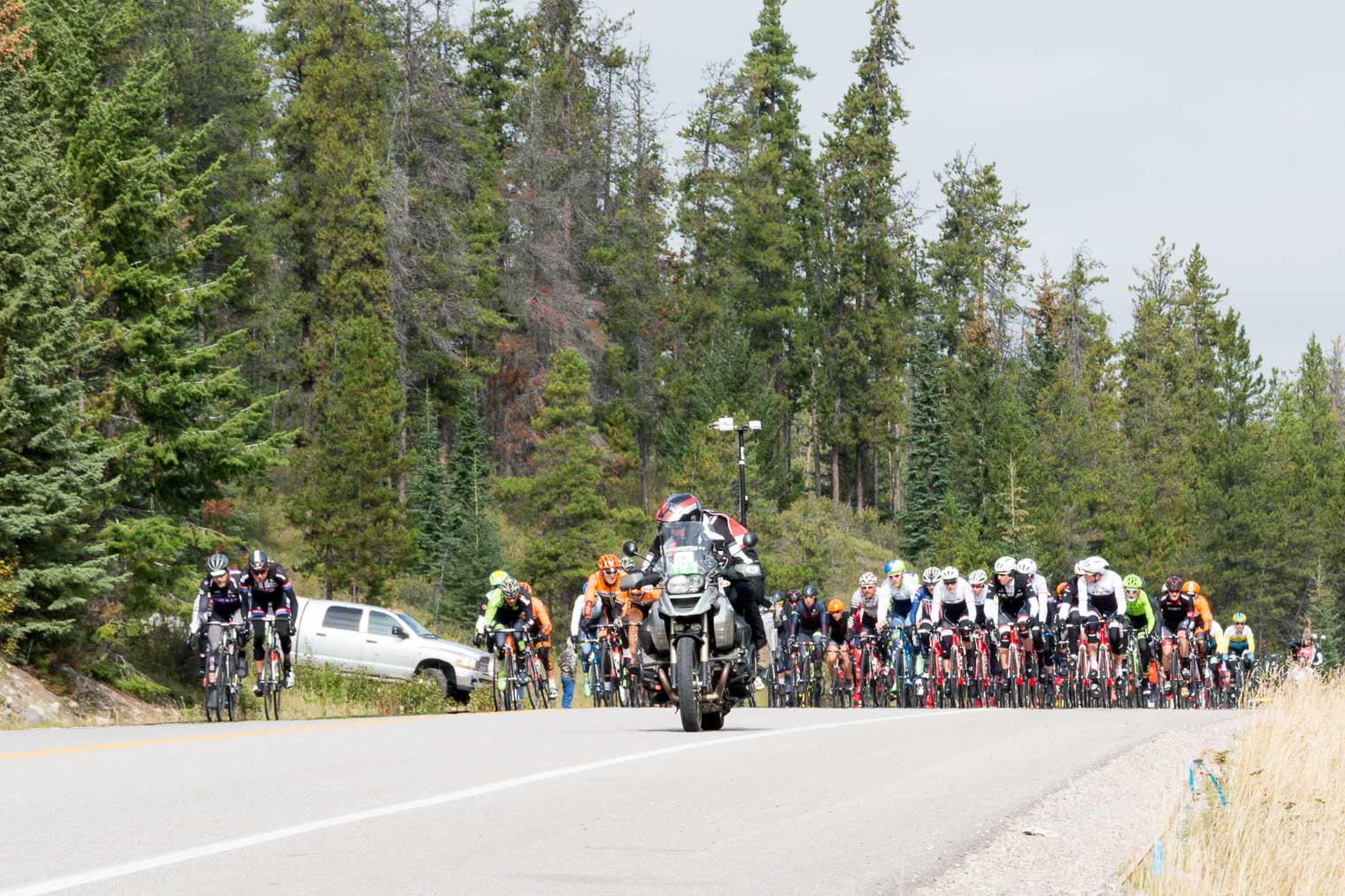
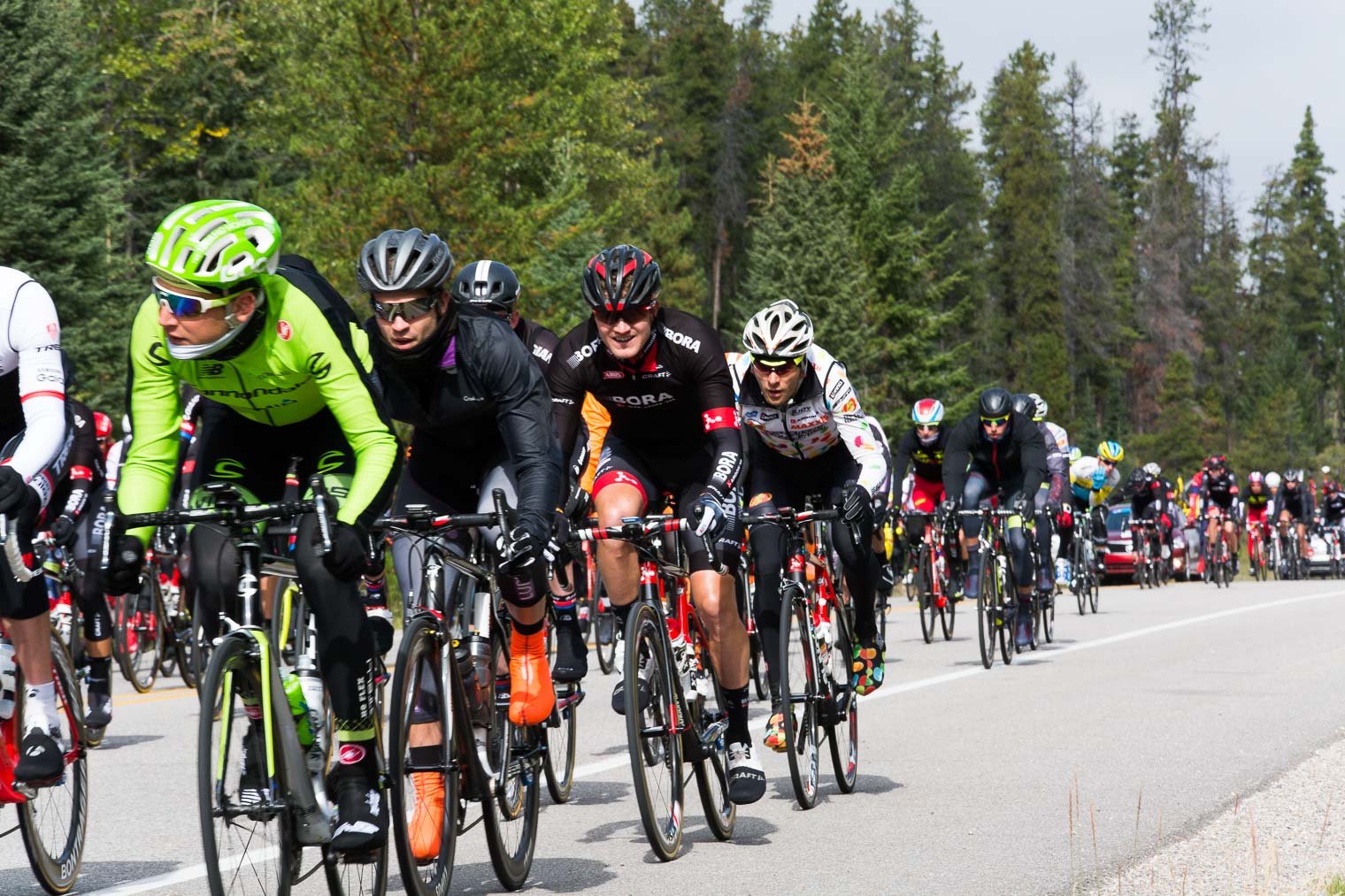
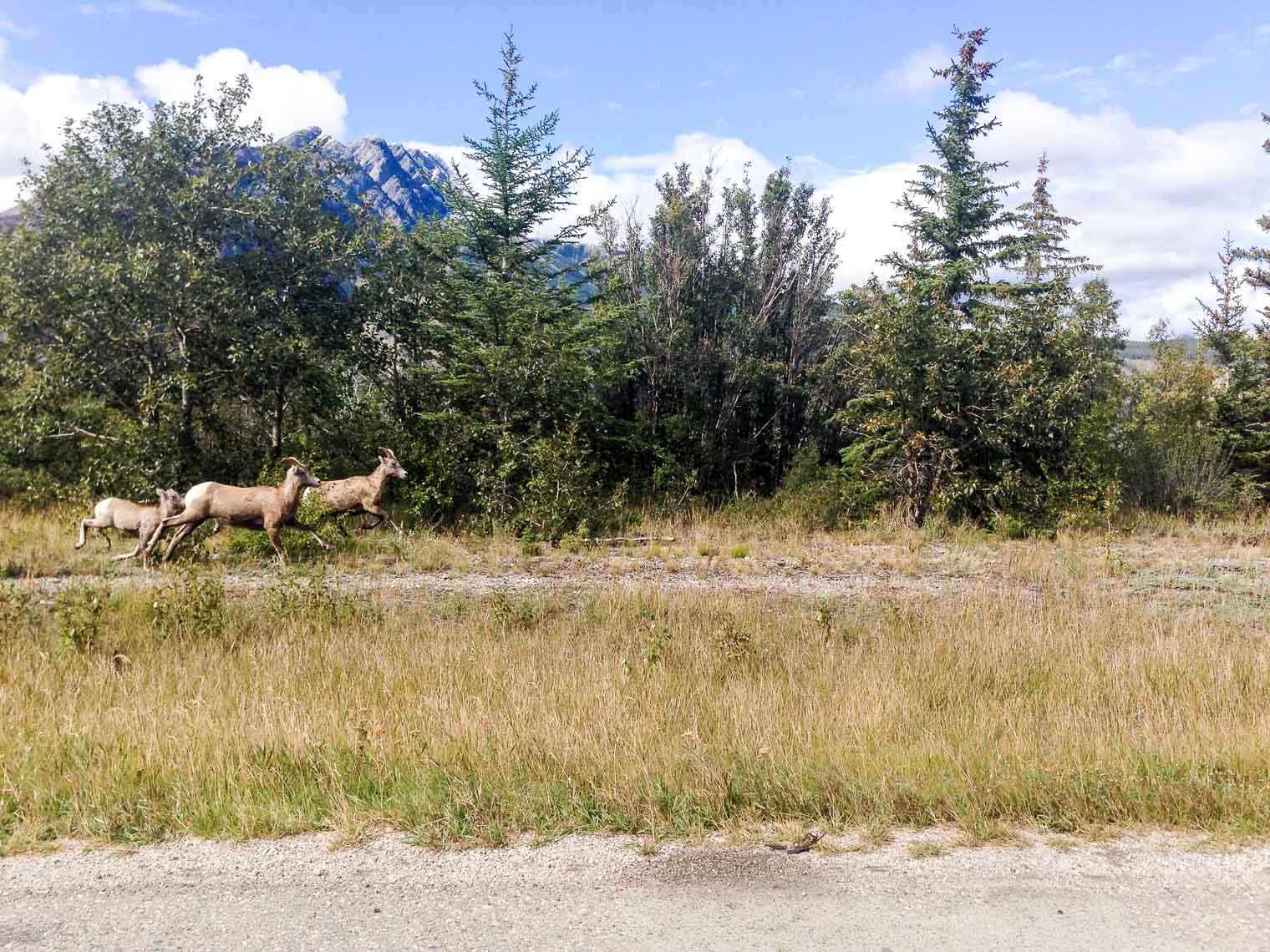
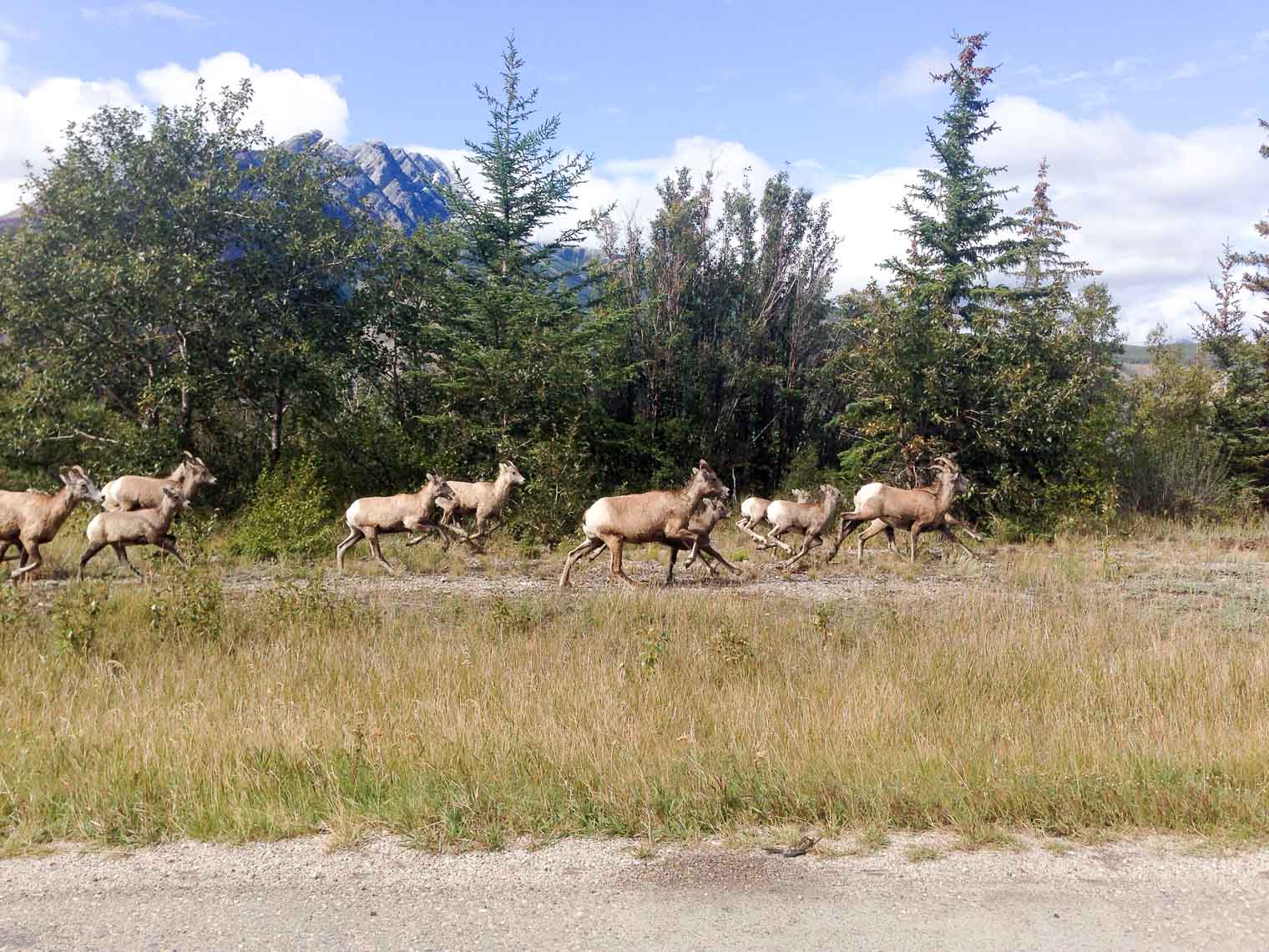
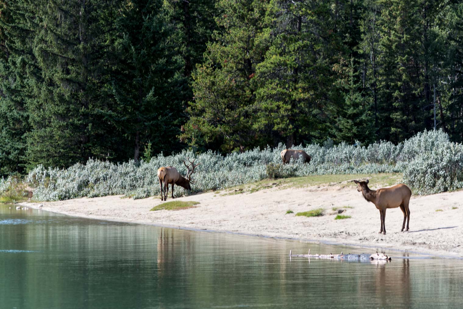 Some people were standing so close to these animals, trying to get a shot with their phone (please do.not.do.that.)
 This is where I slowly walked to the left and hid behind a Parks Canada sign …
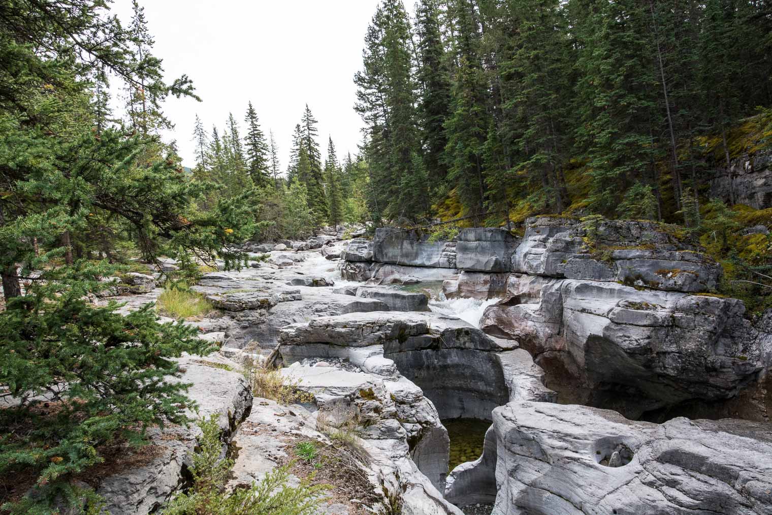
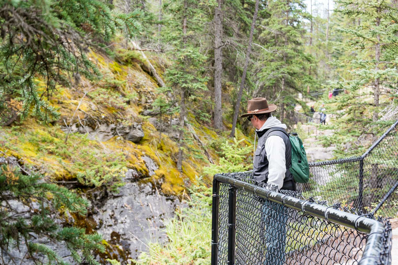


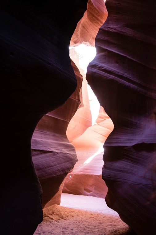
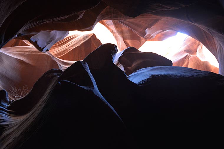
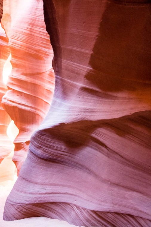
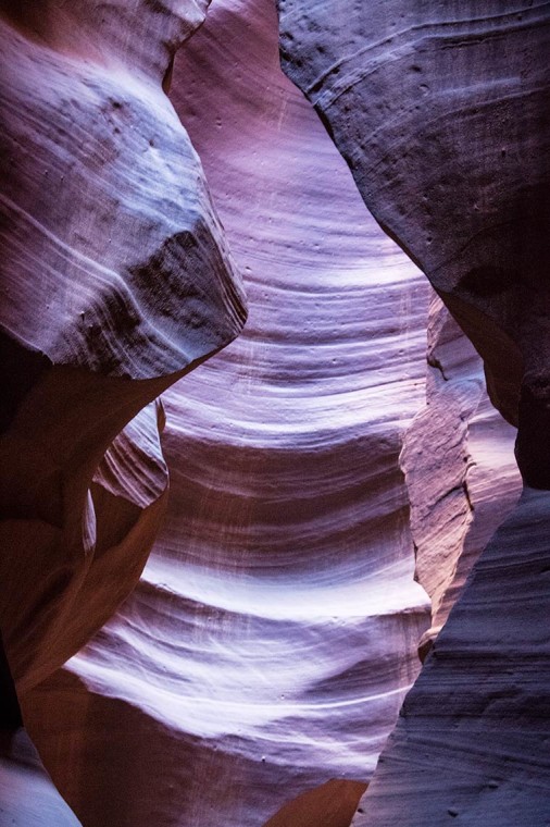
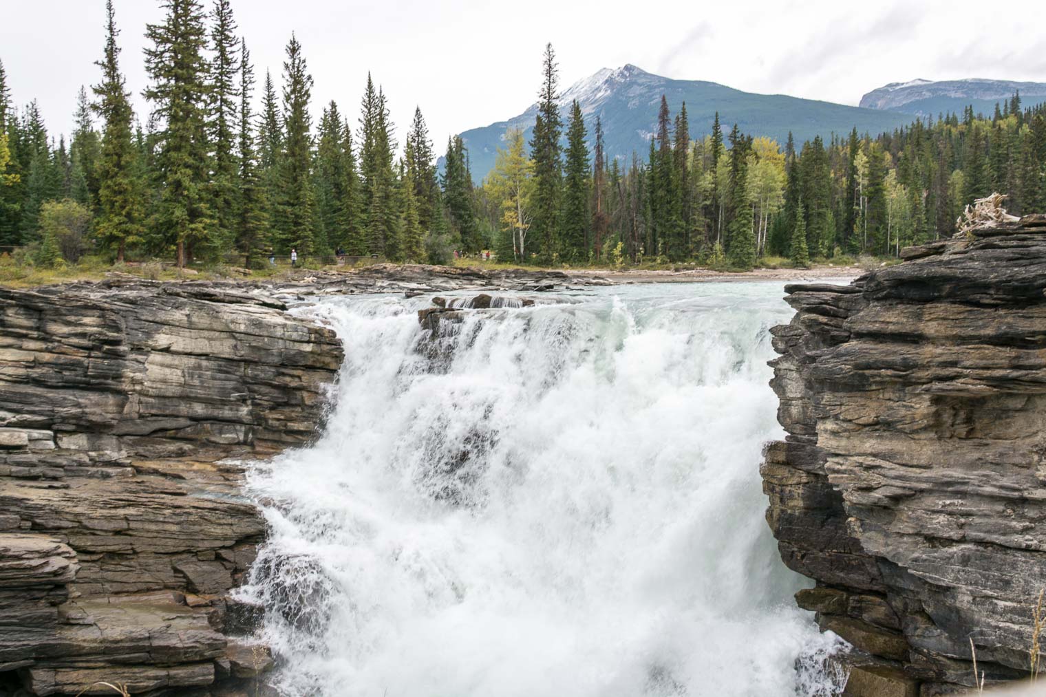
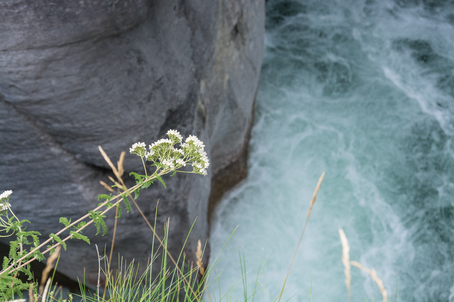 Even though we’ve visited Maligne Canyon a few times, it just never gets old.


 what a blast!


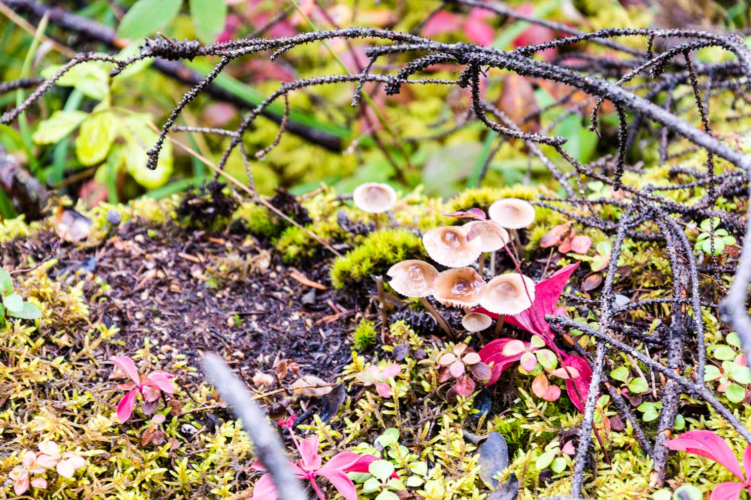
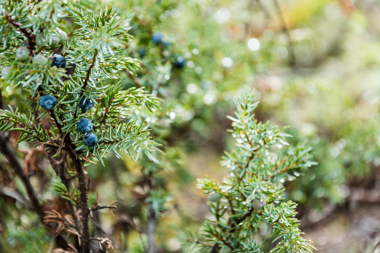
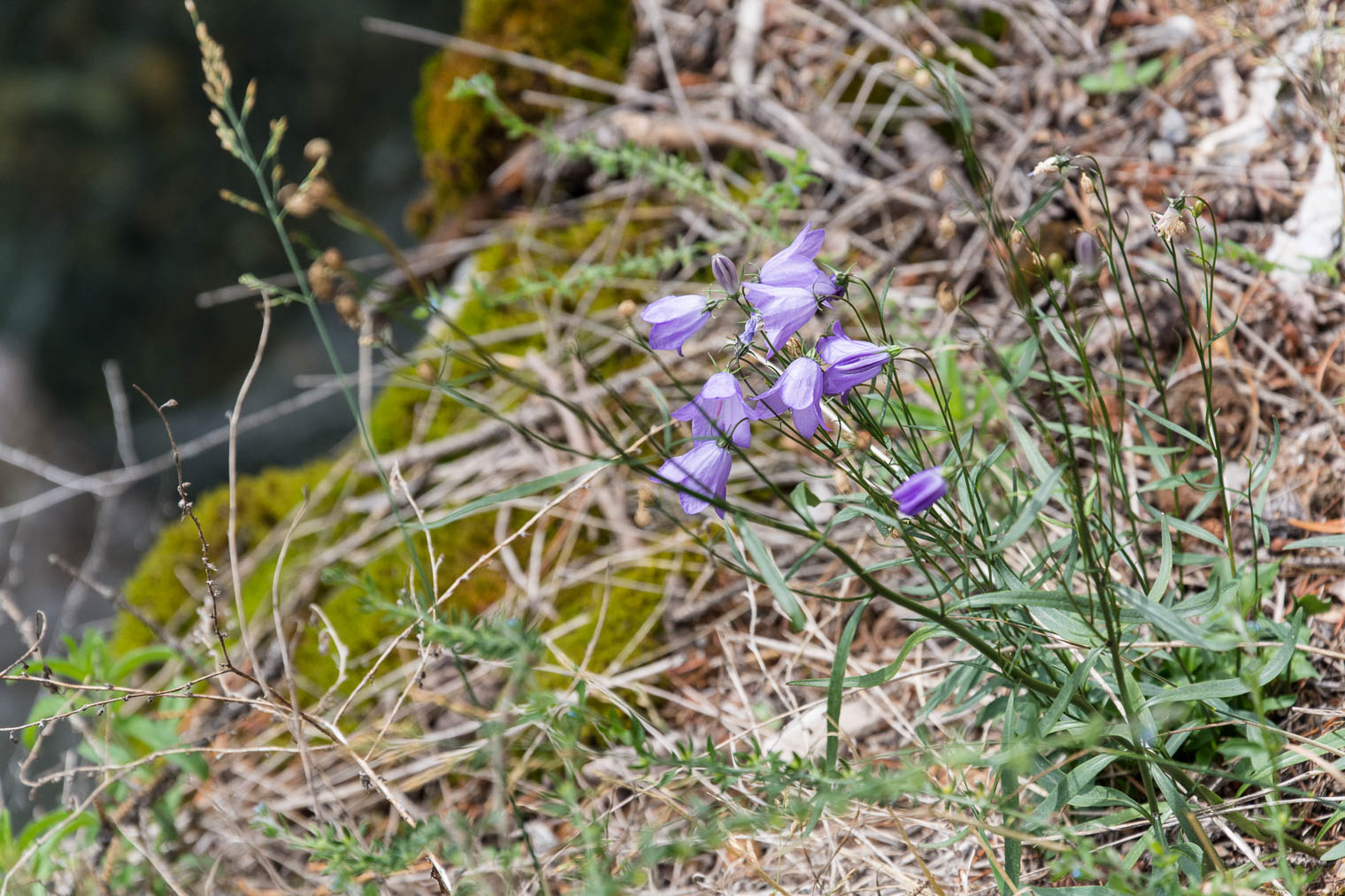
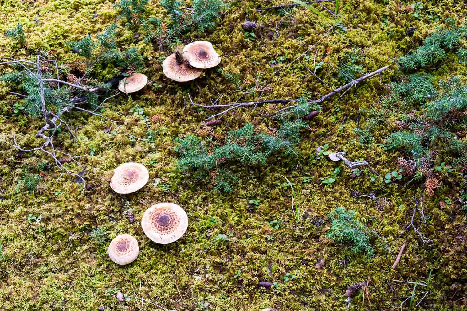
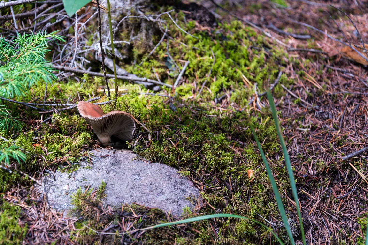
 bokehlicious …
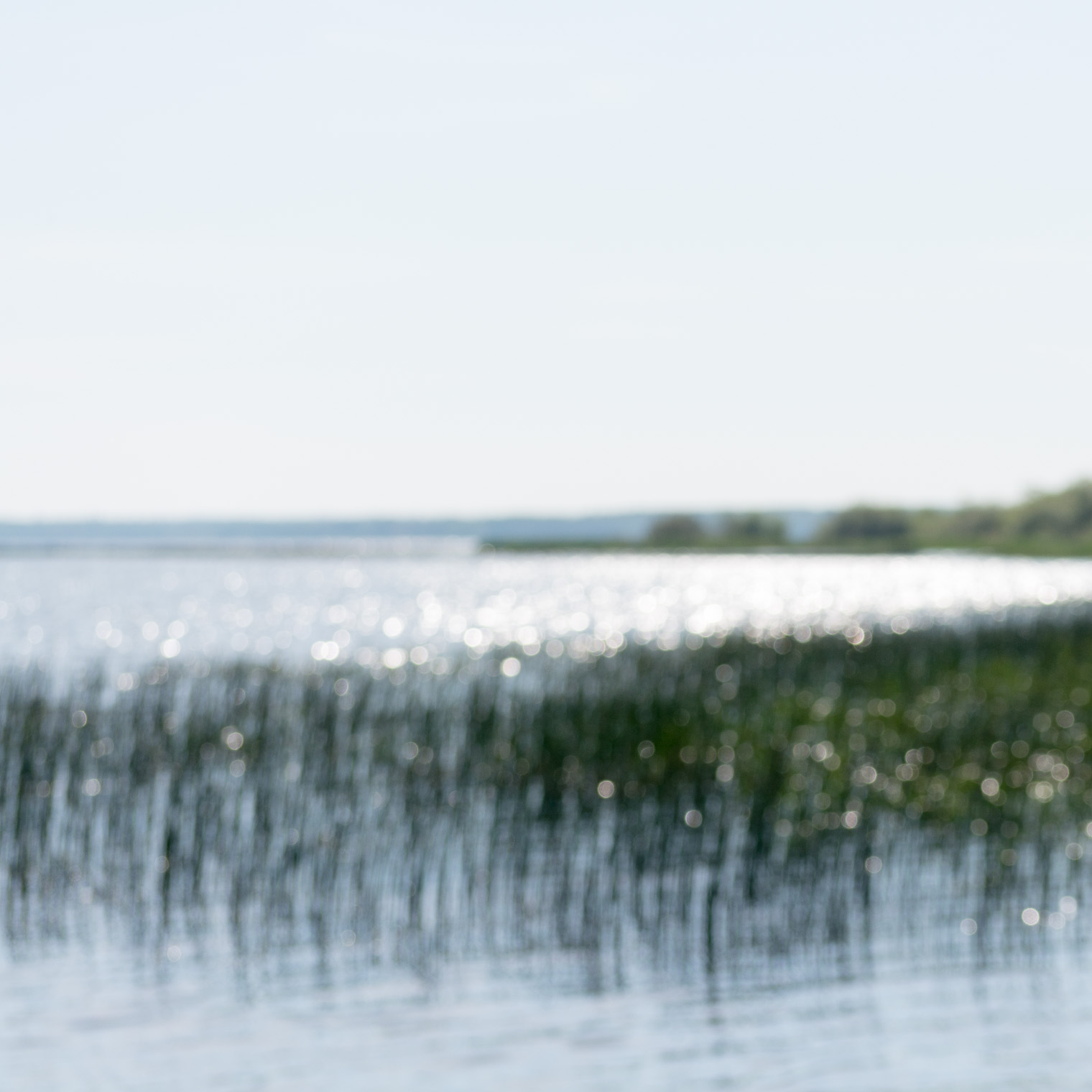
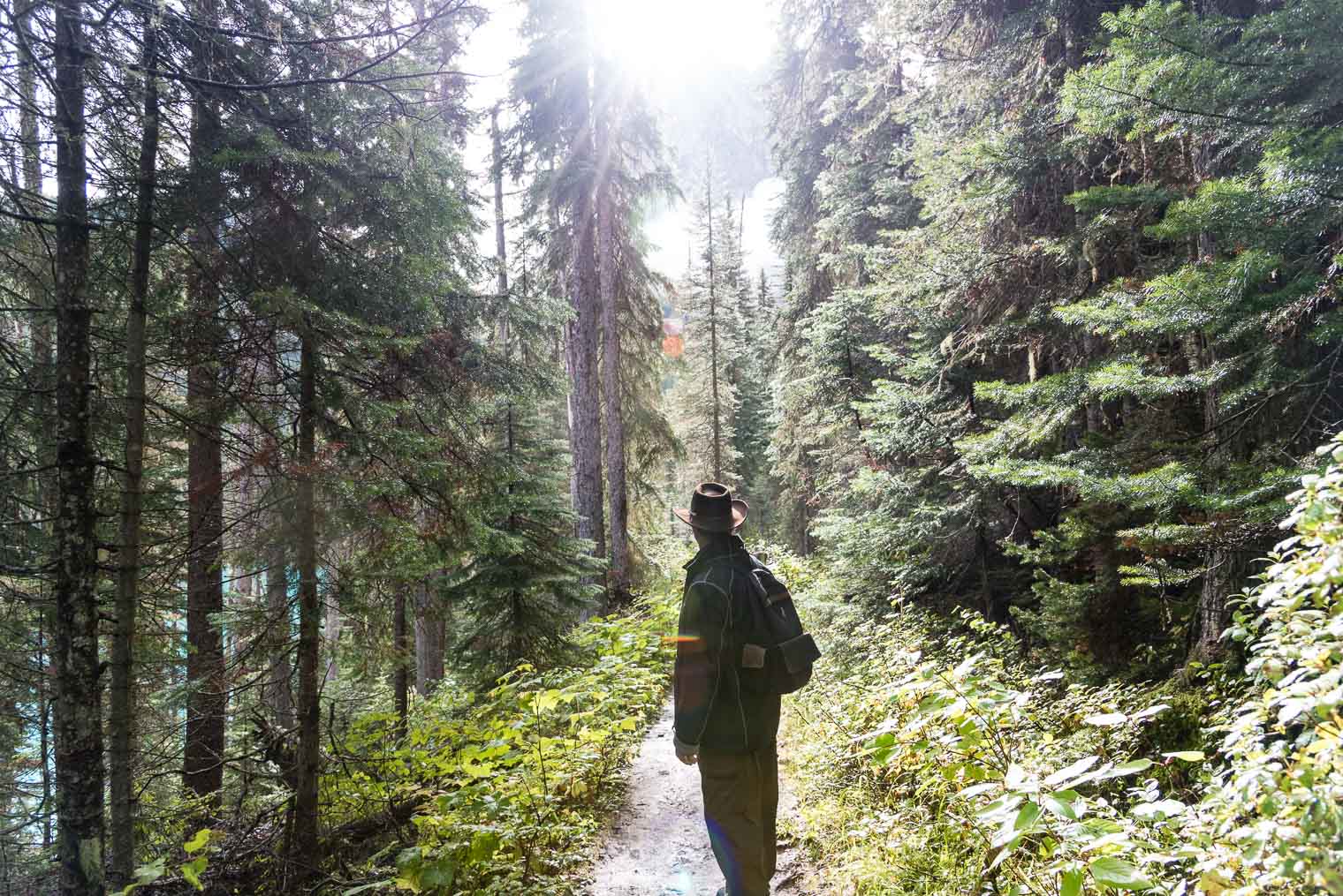
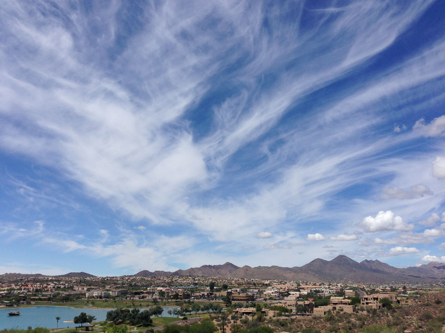
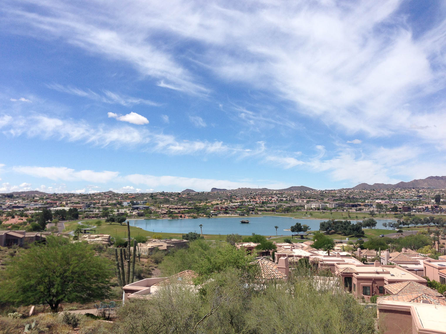
 We were only there for a few minutes but it was enough for me to realize that I need to document our life a bit more.
 We also stopped in Mayerthorpe to pay our respects to